Home » South Island » Marlborough Region » Picton » Snout Track to Snout Head
We decided to walk from Picton centre so we could combine two walks into one. Walk over the Coathanger Bridge at the marina and follow the road around to the brand new boat shed. There is now plenty of parking and toilets. The pretty walk to Bob’s Bay is at the end of the car park. It’s around 20 mins to Bob’s Bay the a little double back up the hill, turn left at the junction and head up the pretty steep hill to the road. From there it’s an easy walk to the start of the Snout Track.
You don’t need to go all the way to the end of the point at Snout Head, there are good views at Queen Charlotte View point. We did the full walk to the point, these are our details of the walk. If you time it right you might see the Picton to Wellington ferry sailing by, it seems so close.
Do your walk in the morning and spend the afternoon on a discounted Hop on and Hop off wine tour that departs from Picton. These prices are the best you’ll get for these tours. Or save big time on a cruise from Picton to Ship Cove in Queen Charlotte Sound.
We’ve partnered with Macpac outdoor walking & hiking gear to bring you the very best products designed exclusively for our New Zealand climate. They’ll ship for FREE within NZ on orders over $100 (if under $100 it’s only $5). Worldwide international shipping is available except to the USA. Bulky orders will be $20.
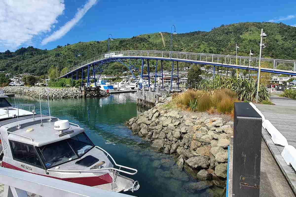
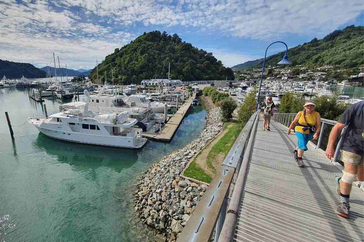

We started the walk on the Bob’s Bay track because we wanted to walk from Picton town centre, but you can miss this out and drive directly to the Snout Track carpark if you prefer.
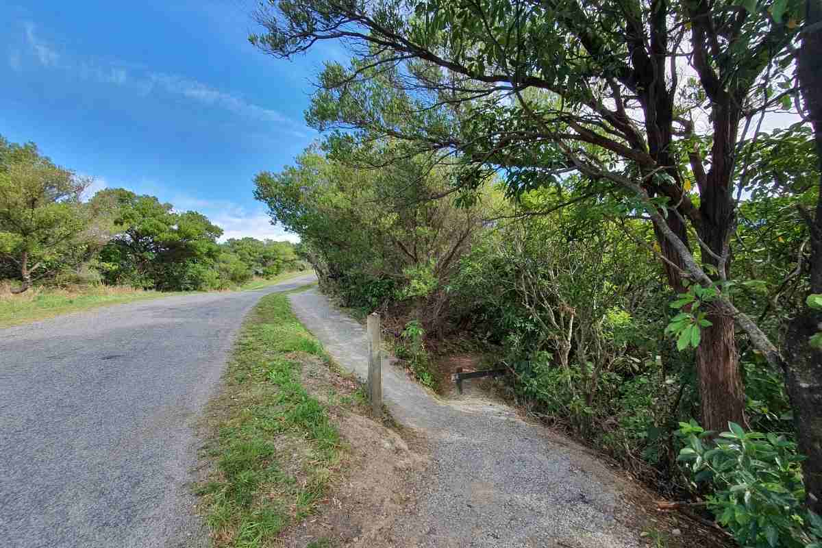
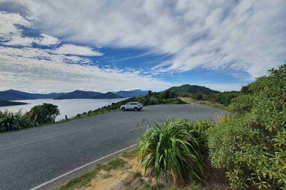
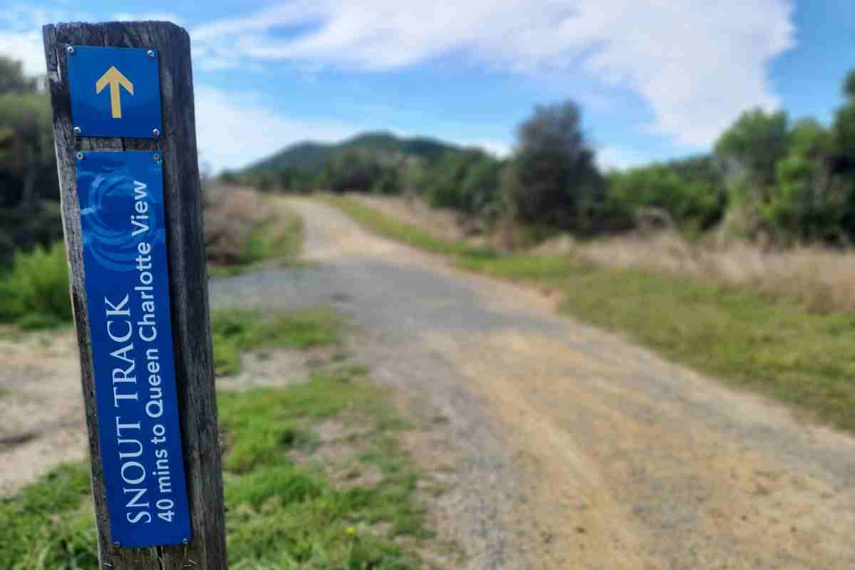
From Bob’s Bay you need to double back up the hill until you reach the junction, turn left, now it’s a bit of a steep 8 minute hike up to the sealed road. There is a track beside the road, follow this to the Snout Track carpark. Or you can arrive in the comfort of your car and start here. There is plenty of parking in the newly sealed carpark.
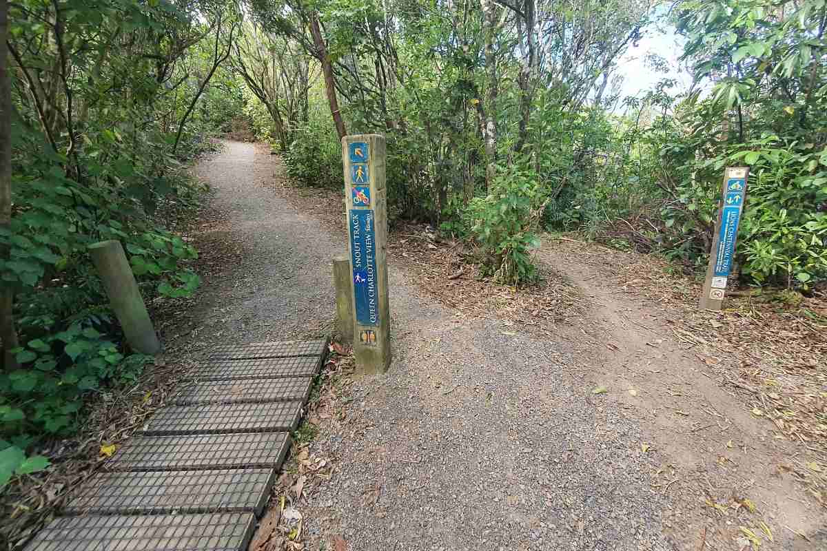



From the carpark, you’re now on a wide dirt car track, follow this for about 10 minutes until you get to the junction with the other bike track, there is very clear signage here. There are no bikes allowed on the Snout Track, which is good. Not much to see along this part of the track.
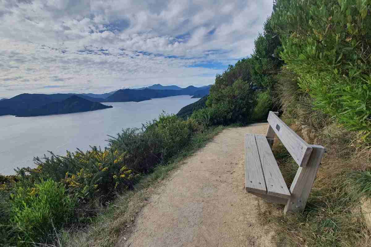
The sign says it’s a 40 minute walk to the view point, which is about right. Now it’s quite a climb up to 120m to the Queen Charlotte Viewpoint. About halfway is a nice seat with excellent views out to the Marlborough Sounds. Take a rest here, it’s quite lovely.
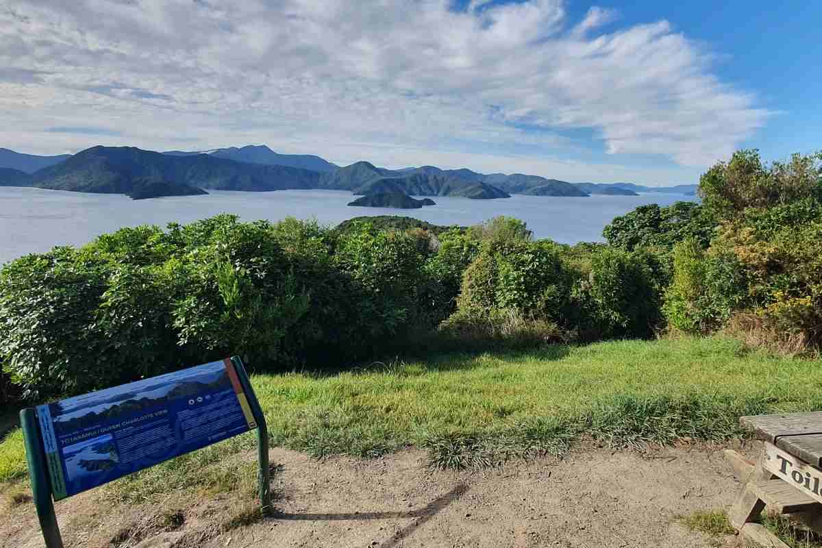
You can catch a view or two of the Queen Charlotte Sounds along the walk, but the scrub is quite tall now and it’s hard to see through. Pity they haven’t made more breaks in the trees, it would make for a much more interesting walk. The views are quite good at Queen Charlotte Viewpoint, I had to stand on the table to get a better photo of the sounds over the trees. There is a toilet here.
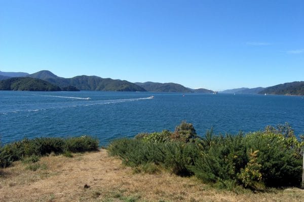

The sign at Queen Charlotte View says it’s 40 minutes to the point, but it only took us 25 minutes. It’s all downhill to the head and of course uphill on the way back! Hopefully the trees are under control here and you get to see the wonderful of the sounds.
If you feel like walking back a different way, walk back to the second gate look for the mountain bike tracks on your left running downhill to the new housing suburb, from there walk out to Waikawa Rd and then walk or catch a taxi or a bus back into Picton
FREE Auckland Walks eBook
Subscribe for walking and hiking tips.

Walking Day Pack made in New Zealand