Home » North Island » Bay of Plenty » Katikati » Te Rereatukaiha Hut Loop Walk
You can walk the complete loop walk in a day, but it’s a big day, so leave early. However, if it’s been raining you’ll probably have to turn back at the hut as the stream will be too deep to cross. Driving time to the start of the track will take you approximately 40 minutes from downtown Tauranga.
Or make an overnight stay at Te Rereatukaiha hut, it’s in really good shape, nice and clean with 12 bunks to choose from. You’ll need to book beforehand on the DOC site here.
This walk uses the same Tuahu Summit Track to the top. It’s an excellent walk too if you’re on more limited time.
Update: Te Rereatukaiha Hut is currently closed due to kauri disease protection.
Around 1890 Tuahu Track was an old Maori bridle track running from the Bay of Plenty up and over the Kaimai Rangers to the mighty Waikato.
The Kaimai Rangers have an area of 37,000 ha of native bush not forgetting the huge kauri trees.
As for the bird life, you might see a few Fantail, Robin, Tom Tit, Pigeon or Tui.
The mighty Kauri tree you walk past on your way to the top is also known as Tuahu.
There are stories of families who would ride over the Tuahu Track from Te Aroha just to ride in the events in the Katikati AMP show. They were the Duncans, Halls and Thompsons. They arrived on Friday afternoon, rode all day in the AMP show on Saturday, and then danced the night away after the trophies were presented. No doubt they downed a few bottles of homebrew and then rode home Sunday afternoon with a splitting head!
The start of the Tuahu Walkway is a 5.5km drive to the end of Hot Springs Road, and a total of 8km south of Katikati. There is plenty of room to park the car.
You should reach the North South Track in around 1 hour 50 minutes. Hopefully, you have chosen a nice fine day with no rain for an easy rock hop across the Rereatukahia Stream.
You can see from the photo of me on the log that the stream was very low and easy to cross on my walk. The water here is crystal clear. Not sure if I’d be keen enough to drink it though.
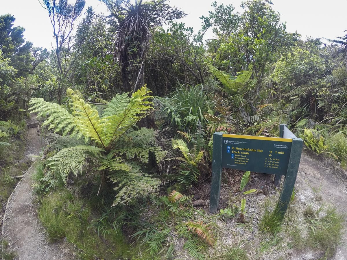
Now the fun starts. When you meet up with the North South track turn to the left.

From here, there will be a few small ups and downs and the bush starts to close in. 10 minutes into the walk you will come across two clearings, give the first one a miss and walk on to the second clearing.
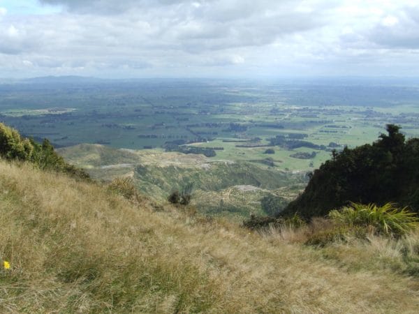
This is a good spot to stop for a break and enjoy the view of the mighty Waikato to the West and Te Aroha to the North.

The clearing is all that is left of the early days of farming. You will see the old fence line as you walk to the Rereatukaiha Hut. North of the clearings the track will close in and will be quite rough.

20 minutes before the hut you will walk along a flat area. This section will be very deep in mud after a good day of heavy rain, I give this section two to three days to dry out before going on this walk.
The last 5 minutes are very rutted out and slippery so take it easy. 20m before the hut on your left is the continuation of the track, otherwise, it is a good walk with good views looking north, south, east and west on a fine day.
The Hut has always been in a clean and tidy state on my run around the track.
This is where my light pair of rugby boots pay off, they give me a very good grip on the steep descents.
20m from the hut take the turnoff on your right. The first 100m can be boggy. Then there is a short drop down into the bush, then you are on your way downhill most of the time.
There are two hills to climb and a track on your left that will run you out to Waitawheta Road, give this track a miss.
The last descent is very interesting, it is steep and slippery after rain but you will pass through two good groves of Kauri trees, if you can stop your fast descent here, have a look around.
One more river to cross ten minutes from the car park. You will get your boots wet on a good day but on a rainy day, I WOULD GIVE THIS CROSSING A MISS IF YOU ARE ON YOUR OWN, you will get more than your boots wet.
When you reach the road turn to your right the car is only five minutes away.
FREE Auckland Walks eBook
Subscribe for walking and hiking tips.

Walking Day Pack made in New Zealand