Home » South Island » Canterbury Region » Mt Oxford » Coopers Creek car park to Mt Oxford Summit Walk
I was rewarded with spectacular views across Lees Valley, Canterbury Plains and surrounding mountains.
(snow, sun, rain or shine! Just not when it’s windy down the bottom – as it gets utterly ridiculous at the top! Be warned……..don’t do the hard slog up – only to have to turn around 40 mins from the summit.
is pretty easy, with a great warm-up stroll through the Manuka bush and several bee-hives (I am a bee-keeper, so I get excited). The path is well sign-posted (green DOC signs) and the path is both, easy to find and well maintained.
and a quick hop over a style (sounds harder than it is). An easy meander and incline (past a scout hut on the left-hand side) lead to a sharp left-hand turn and into the bush.
on a great path along the beech trees – it can be a little muddy in parts along the bottom (depends on how much rain there has been) – and as with most of our woodland walks – keep an eye on the wasps (in the relevant season).
with the river below and up onto harder ground. Keep an eye out for the amazing birdlife – the bellbirds are plentiful and so is their song! After about 1.75 hours you will reach the opposite end of the bush line (and pop out to begin your ascent into the ridge) – before you do be sure and have a break, rehydrate and take the opportunity to reapply sunscreen if required (from here for the next 1.25 hours there is little or no cover on a hot sunny day).
be sure to look back and start to enjoy the views across the Canterbury Plains and the Waimakariri River (keep an eye out for the Oxford Township, Darfield Synlait and the Limeworks (large white cliffs down to the right-hand side).
and it eventually tapers off a little (and you will make progress across the top of the saddle). Before following orange DOC marker posts – ever upwards (I always work from one post to another – having to rest and of course enjoy the view – before moving onto the next). I think there are eight DOC posts in total – so this section takes about 30 mins and then you finally reach the top.
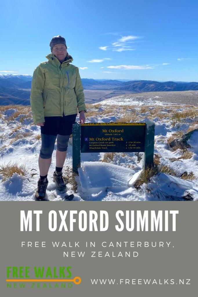
and a sign on the top. Also a small rock formation (man made) – complete with a wooden plank – to take a rest on. Be sure and get up and walk to the opposite side of the peak for stunning views of the Torlesse Mountain range and Lees Valley.
head back down the way you came up (** there are alternate routes down if you are of good fitness and prefer a loop track).

We’ve partnered with Macpac outdoor walking & hiking gear to bring you the very best products designed exclusively for our New Zealand climate. They’ll ship for FREE within NZ on orders over $100 (if under $100 it’s only $5). Worldwide international shipping is available except to the USA. Bulky orders will be $20.
FREE Auckland Walks eBook
Subscribe for walking and hiking tips.

Walking Day Pack made in New Zealand