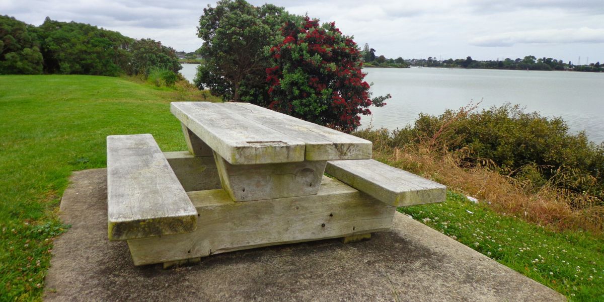
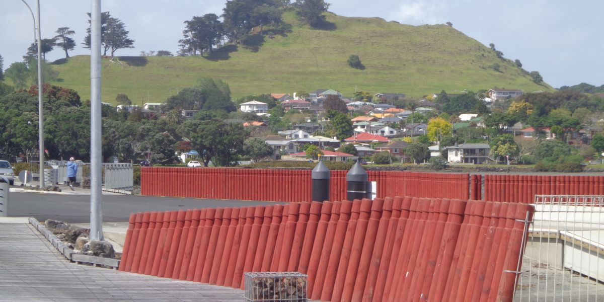
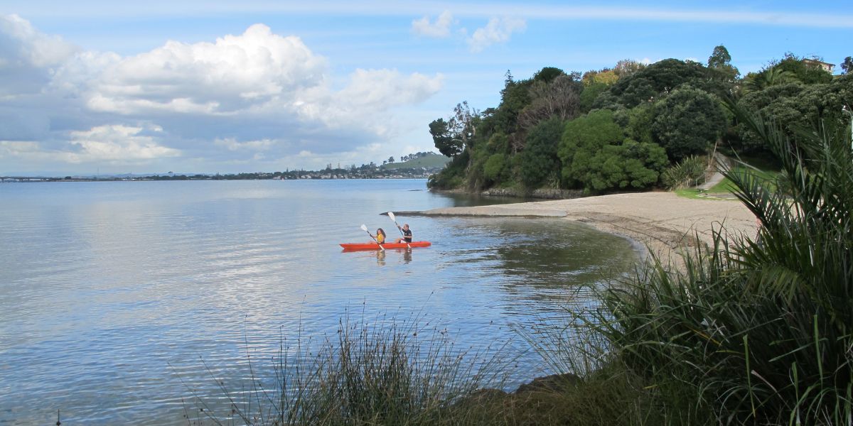
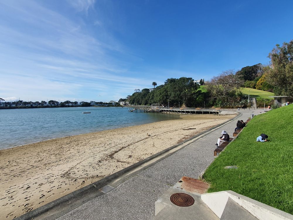
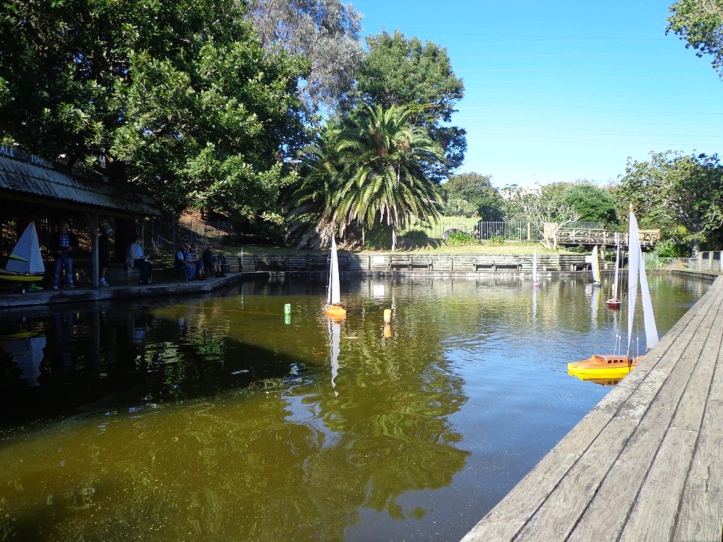
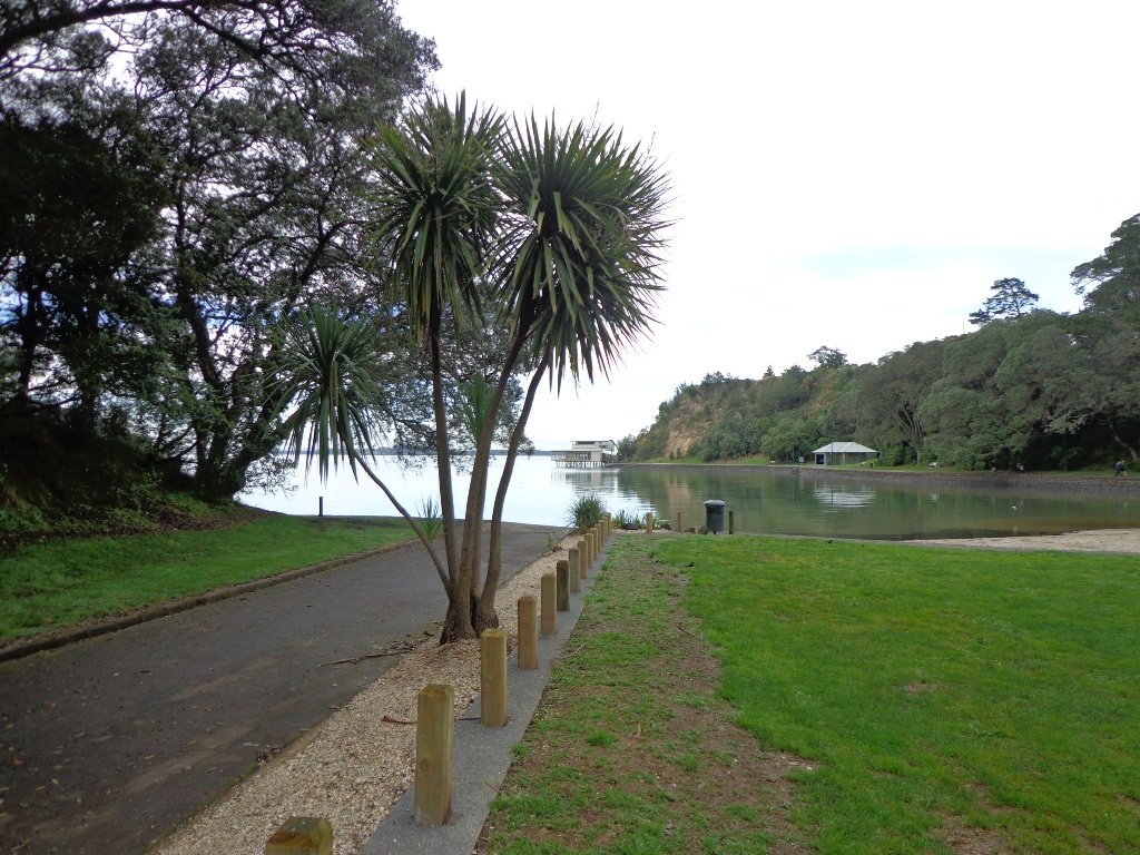
Seaside Park Otahuhu
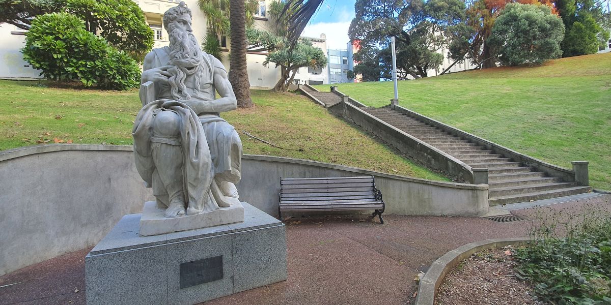
2 km • Less than 1 hour • Easy • Seaside Park at Otahuhu is a small and delightful park.
2 km • Less than 1 hour • Easy • Seaside Park at Otahuhu is a small and delightful park.
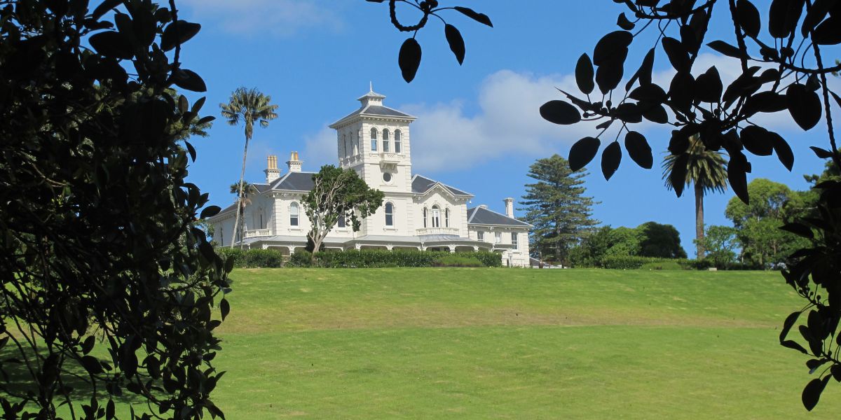
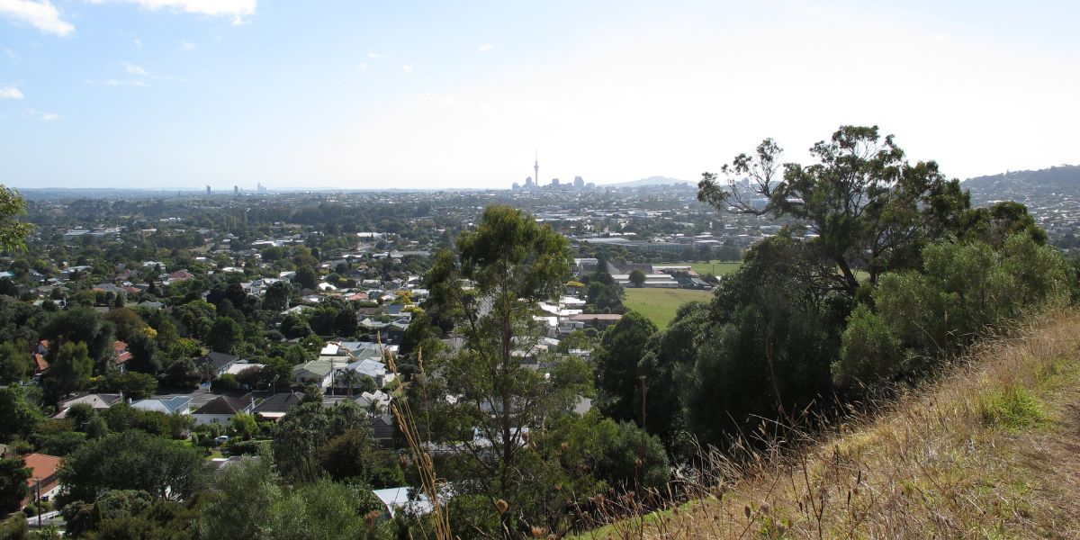
5 km • 1 hours • Easy • These short Auckland walks start from Greenwoods Corner and include One tree hill and Pah Homestead.
8 km • 1.5 hours • Easy • Ōrewa Estuary Path is a great loop walk on an excellent wide concrete track made for walkers and bikers. When the tide is in you’ll enjoy lovely views around the whole track.
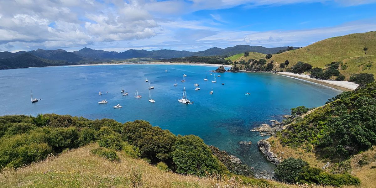
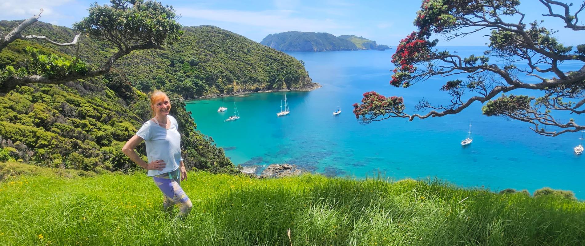
3.7 kms • 1 hour 50 mins • Medium • Views, views, and more stunning views everywhere you look when you walk the loop at Whangapoua North Bay at Great Barrier Island.
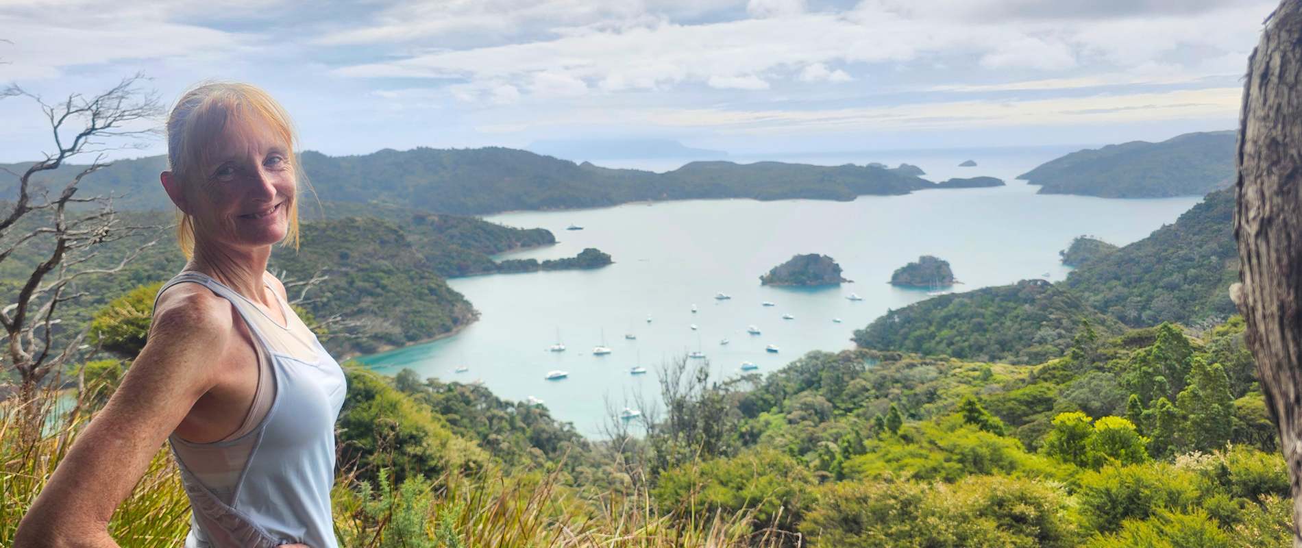
3.36 km • 1 hour 15 minutes • Steep, but not too bad • Harataonga walk on Great Barrier Island delivers panoramic ocean views, rainforest, and a touch of history.
2.6 km • 1 hour 15 minutes there and back • Steep, straight up • Such a great walk and well worth the uphill workout to the lookout at Kiwiriki Bay on Great Barrier Island.
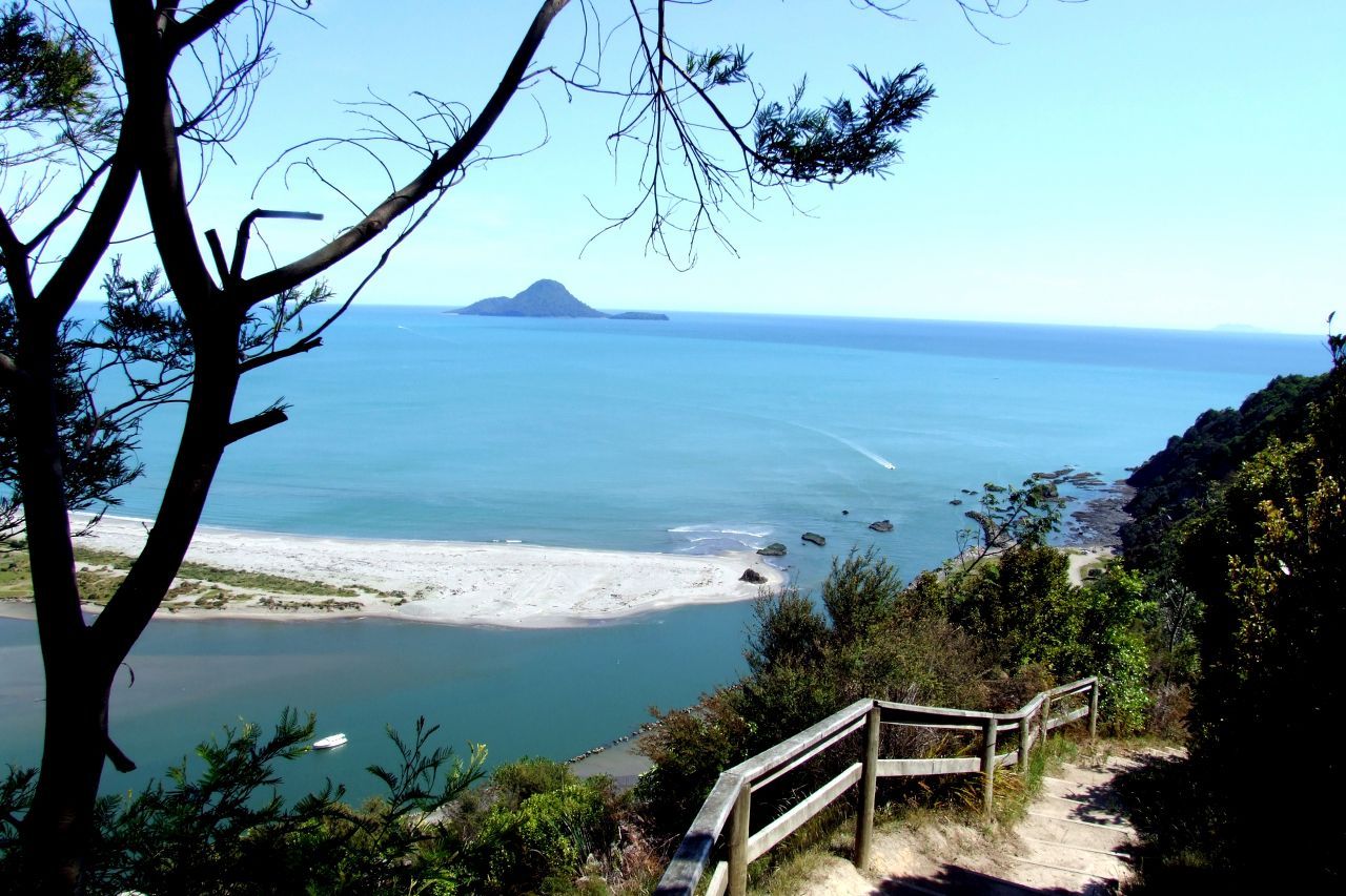
7 km • 3 hours with one short stop for lunch • Medium walk with steps • Great walk starting from Whakatane town.
5 shorter walks for the University of Auckland Sport and Recreation staff and students, to enable them to enjoy a walk in their day.
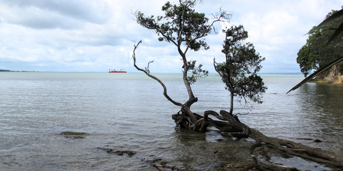
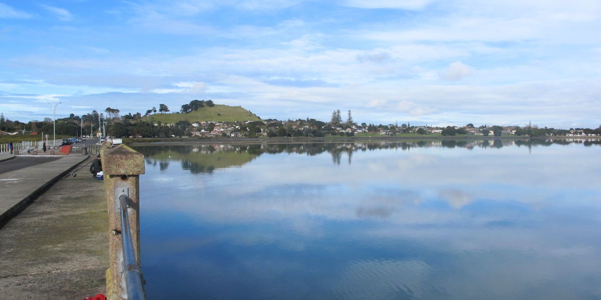
5 km • 1 hour • Very Easy • The Mangemangeroa Shelly Park Beach Path walk was a totally new discovery for us today.
7.5 km • 1 hour 30 minutes • Medium with steps • Today was our first walking exploration in the Albany area of Auckland.
3.36 km • 60-70 minutes • Medium with stairs • Wades Walkway at Whitford is a little gem that we hope will be developed further in the future.
It was a big decision today, do we do the Mission Bay walk this morning, this afternoon or tomorrow due to possible rain?
Mangere Bridge Village is a great little spot to start exploring Auckland’s Manukau Harbour area. Here are our 5 loop walks.
Manukau Harbour has many nooks and crannies to explore. Here are 10 places where you can walk beside Auckland’s Manukau Harbour and enjoy the diverse and unique landscapes.
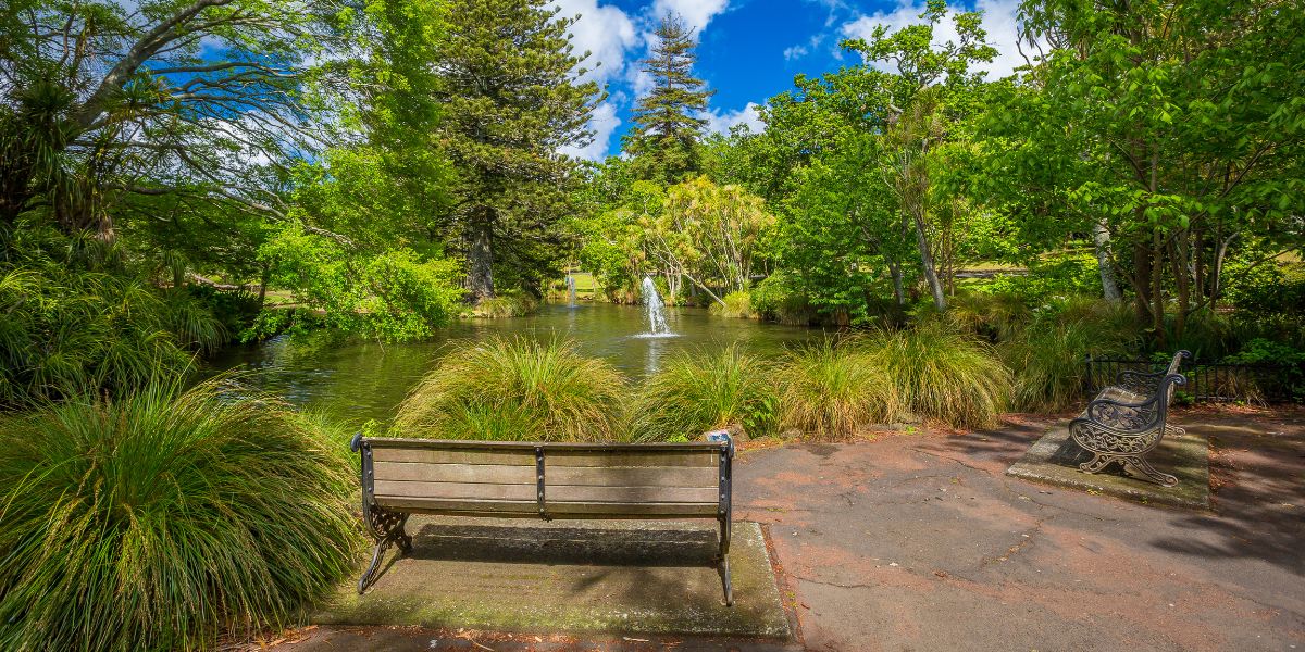
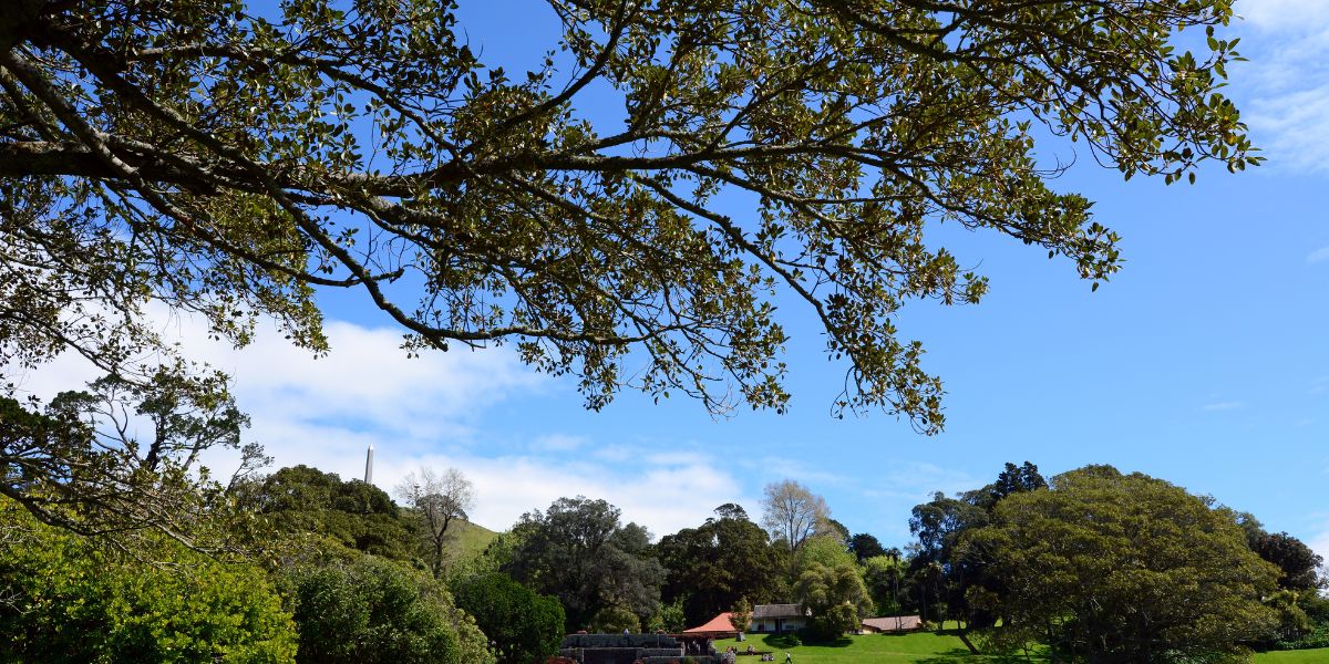
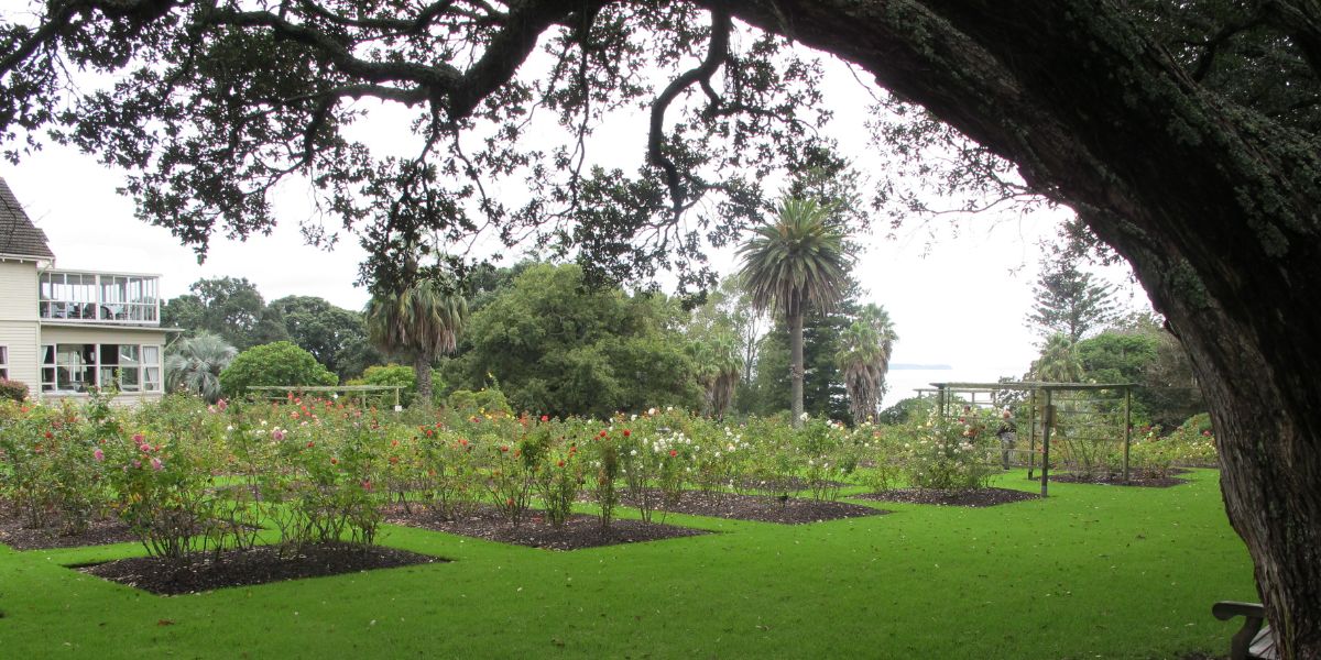
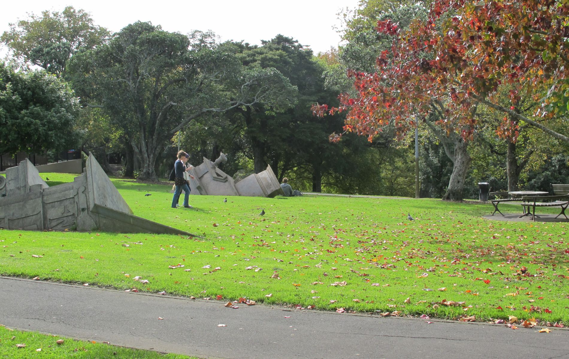
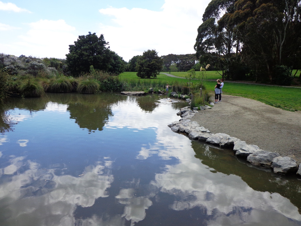
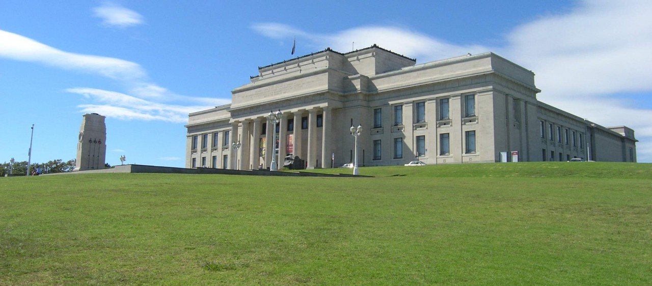
4 km • 2 Hours • Very Easy • It turned out to be a beautiful sunny day in Auckland, time for a relaxing heritage walk in Auckland Domain, home of the Auckland War Memorial Museum.
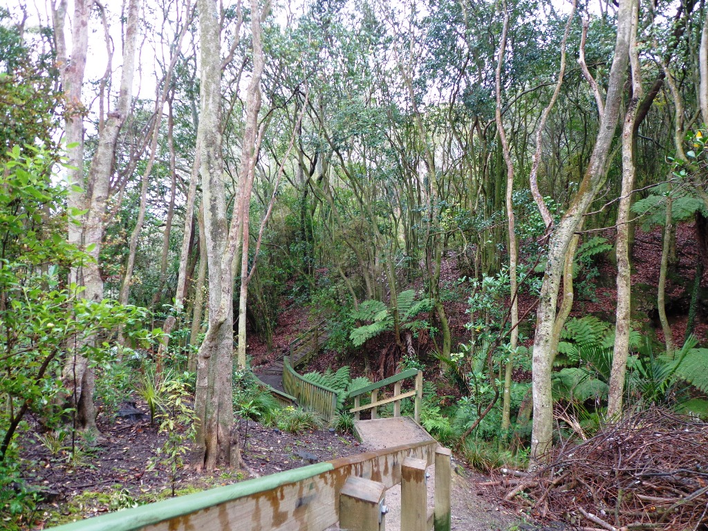
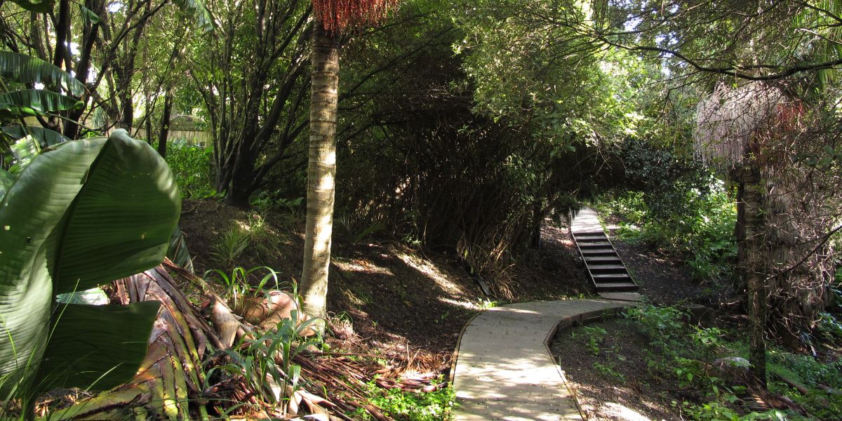
If you fancy a bush walk without travelling out of Auckland, then Eskdale Reserve and Birkenhead Domain are it.
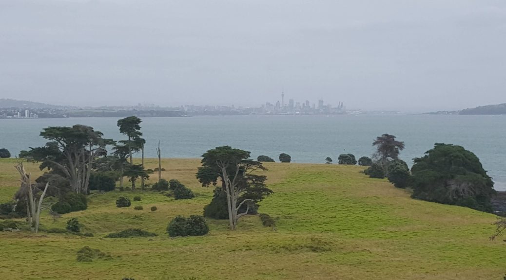
Wow – Browns Island in Auckland Harbour – what a cool little island to visit for a walk.
15-40 Minutes • Easy • This is one of our smaller Auckland loop walks but a delightful one, boasting native bush and many birds.
5.5 km • 75 Minutes • Easy with steps • This Westmere Loop walk explores the gems of Wellpark Reserve and Jaggers Bush Reserve beside the creek, and touches on the harbour edge at Westmere Park and the end of Garnet Road.
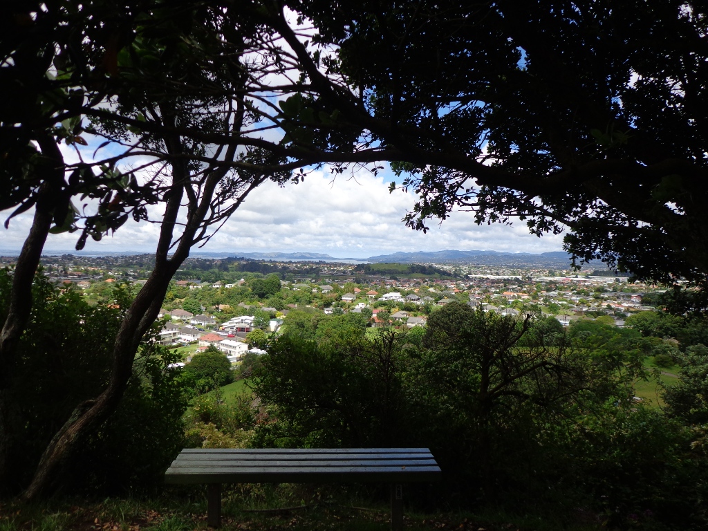
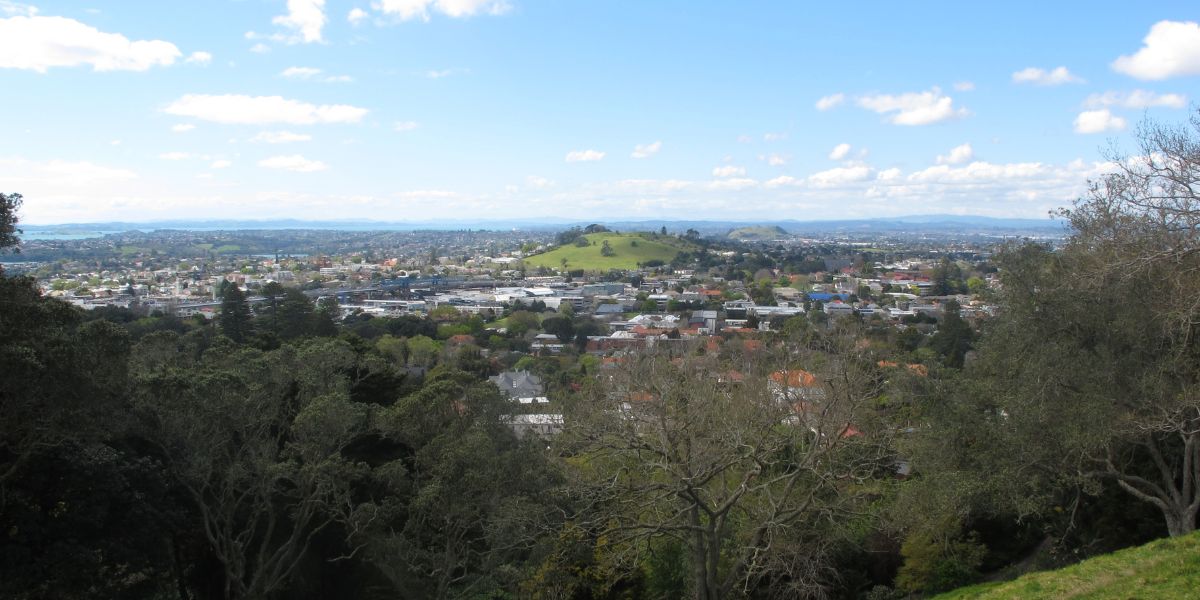
3.45 km • 45 Minutes • Easy with steps • Big King is all that remains of the Three Kings volcano cones after the others were quarried away.
60 Minutes • Easy with steps • The Hillsborough Cemetery to the Bays walk is one of the few walks in Auckland that does not have a nearby cafe.
5 km • 60 Minutes • Easy with steps • There is so much to discover when you take a walk in Parnell!
3.92 km • 60 Minutes • Easy with steps • Another beautiful day and todays walk in Auckland Central is one of contrasts – from the quietness of secluded reserves to the noisy Parnell farmers markets.
60 Minutes • Easy with steps • Today’s walk begins at Victoria Park Markets in downtown Auckland
1.7 km • 30 minutes • Easy loop walk around Dove Meyer Robinson Park down to Judges Bay beach then through the cemetery, onto a bit of road and back down past the Parnell Baths.
60-90 Minutes • Easy with steep paths • I really enjoy the diversity of Auckland at large and it is also a pleasure to find a walk that contains diversity within a small area.
4.55 km • 50 Minutes • Easy with steps • The loop walk in Auckland from Mission Bay to Okahu Bay takes in the views of Auckland Harbour from the M J Savage Memorial Park (the Auckland Explorer Bus stops here) and the Bastion Point Marae. The bright sunshine and blue skies today, enhanced the scenes.
60 Minutes • Medium with stairs • Despite the low grey clouds we set off on a new walk above Tamaki Drive, Mission Bay around the MJ Savage Memorial Park.
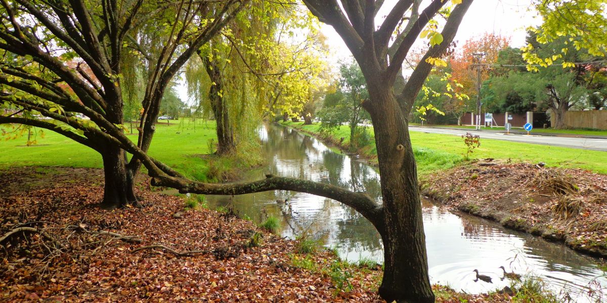
5.4 km • 1 hour 15 mins • Easy with some steps • Today I was shown an interesting waterway – Meola Creek in Mt Albert.
Easy 3km coastal loop in Auckland taking 1-1.5 hours. Enjoy stunning Manukau Harbour views and native bush. Family-friendly with minimal elevation. Start planning your walk.
1 hour • Easy • This walk in Auckland is a low tide walk around Hobson Bay and Parnell
3.3 km • 30 to 60 mins depending on which way you go • Easy • Waiatarua Reserve has something for everyone.
4 km • 1 hour • Easy • The weather did not look too promising this morning (it did improve), so we set out to walk the back streets and parks of Auckland City.
4 km • 1 Hour • Easy • We have wanted to include Oakley Creek walkway in our walk guides for some time.
5.4 km • 1 hour • Easy • Enjoy awesome views along the Point Erin and Auckland Harbour walk
3.89 km • 45 minutes • Mainly level path • The harbour water was dazzling as we walked along the Wynyard Quarter waterfront and the Viaduct Basin.
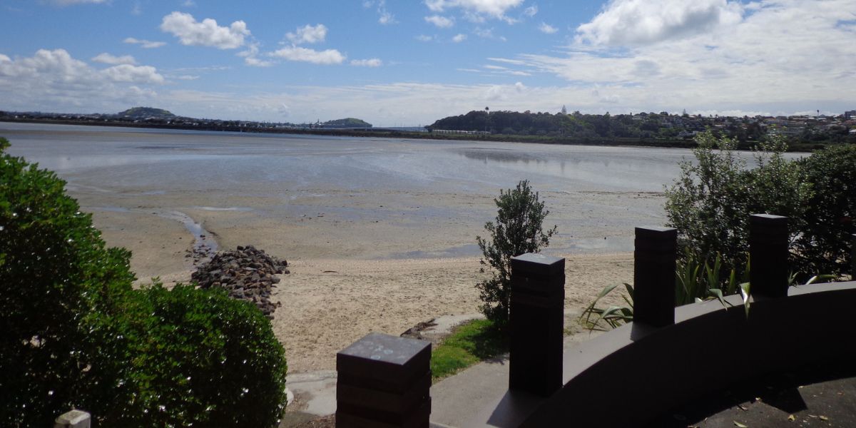
4 km • 45 minutes • Easy • It takes only 30 minutes to walk around the Panmure Basin – another Auckland volcanic crater walk.
10.5 km one way • 1 – 5 hours • Mostly flat walk • One of East Auckland’s most scenic and popular walkways, the coastal Rotary Walkway in Pakuranga.
Complete loop walk along Manukau Harbour: start point, three sandy beaches, Onehunga Wharf bridge detour, Carnegie Library café, tide tips. Full route guide.
4 km • 1 hour • Easy • If you are a visitor to Auckland you will find this art gallery walk will help you to get your bearings and introduce you to the city character.
5.6 km • 1 hour • Easy • The mini-tour museum walk takes in the Auckland Domain, Albert Park, Queen Street, Chancery Lane, Vulcan Lane, High Street, and old Government House.
7.5 km • 1.5 hours • Easy • Another short walk in Auckland in Mangere. The walk takes in views of Mangere Mountain and Manukau Harbour
The 5 walks from Newmarket include Mt Eden Loop, Hobson Bay Walkway, Mt St John, Auckland Museum & the Parnell Loop
4.7 km • 1 hour • Easy • Catch a train from Britomart to Orakei, and enjoy a walk along the Hobson Bay Walkway with views of three volcanoes – North Head, Mt Victoria and Rangitoto Island
7 km • 1.5 hours • Easy • This Auckland walk takes you from Kingsland Train Station (with views of Mt Albert), touches the city end of Dominion Road, Eden Quarter, and through the suburban streets of Mt Eden, to Mt Eden Village and return.
5 km • 1 hour • Easy • Today we explored Kinglsland, an Auckland walk that we have driven past many times on the North Western Motorway.
5.58 km • 1 hour 10 mins • Easy • This walk explores both Cox’s Bay Reserve and Grey Lynn Park.
3.75 km • 45 minutes • Medium • The views across to Blockhouse Bay and Manukau Heads in the far distance along the Lynfield coastal walk this morning, were spectacular!
5 km • 1 hour • Easy • The Blockhouse Bay Tiriwa walk in Auckland follows the high cliff edge alongside Manukau Harbour to Green Bay Beach and then continues inland to Craigavon Park.
7.5 km • 1.5 hours • Easy • We had overlooked Mt Roskill as a place to walk and explore… until today.