Home » North Island » Auckland Region » West Auckland » Waitakere Ranges » Gibbons Track Walk
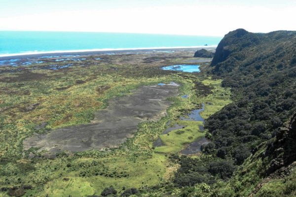
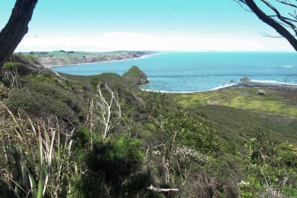
The Gibbons walking track is a medium 14km walk that will take you around 3 hours to complete. It’s a bit of a hike uphill at the start, but well worth it for the views at Gibbons Lookout. Along the Gibbons walk, you get great views of the coastline. The lakes in the black sand hills are a major feature of this walk.
There have been a lot of upgrades to the walk with boardwalks and widening of the track which all helps to make a better walking experience.
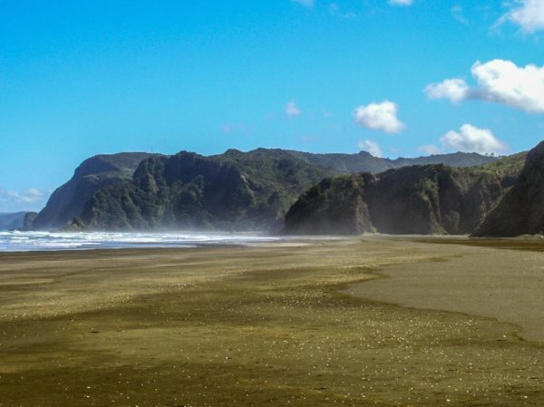
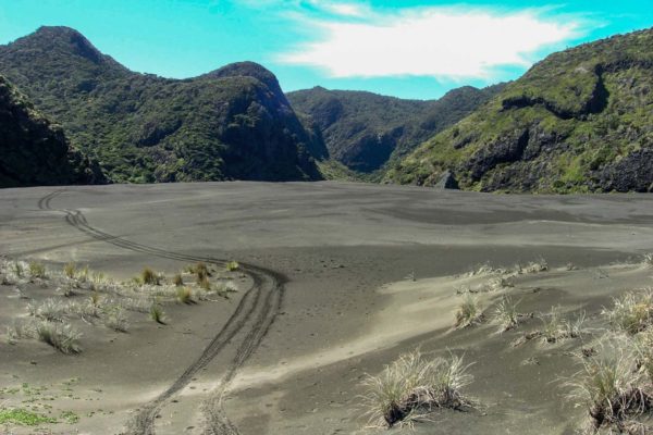
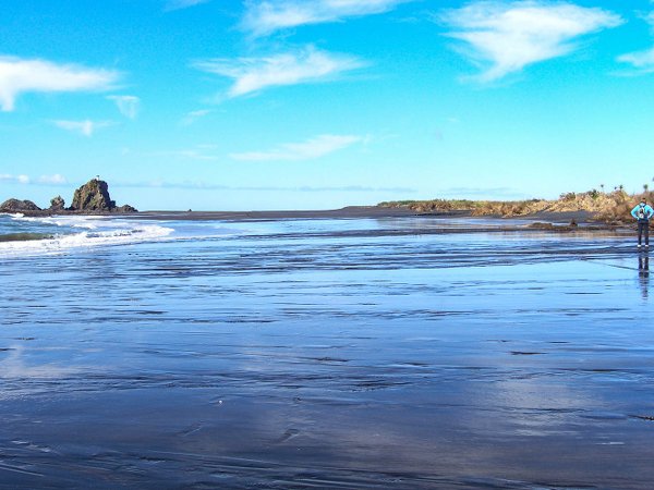
From the car park just head for the ocean. Walk out to the point then head north up the beach. Keep out of the wet lands during winter months, it is one immense bog. Take a boat with you or water wings. As you walk north up the beach look at the main ridge running north, to your right. You can see when it drops down to Pararaha point and the wetlands, about 4.6km from the car park as the crow fly’s. Now look for the gully.
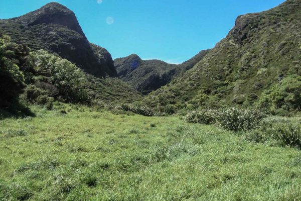
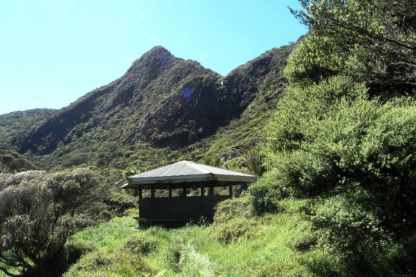
Walk up the valley and just look for markers. You should be standing on top of a sandhill looking down at the track. There are a couple of boardwalks along the way. You will meet up with the Zion Track at the base of a hill, so take the right fork to the Pararaha shelter after walking through a creek. 45 minutes walk. Pararaha shelter is on sloping ground not an ideal place to pitch a tent if need be, sleep in the shelter. There is also a long drop there, do not forget to pick up your permit to camp the night. Just before the shelter, you will see a rough track going off to your right.
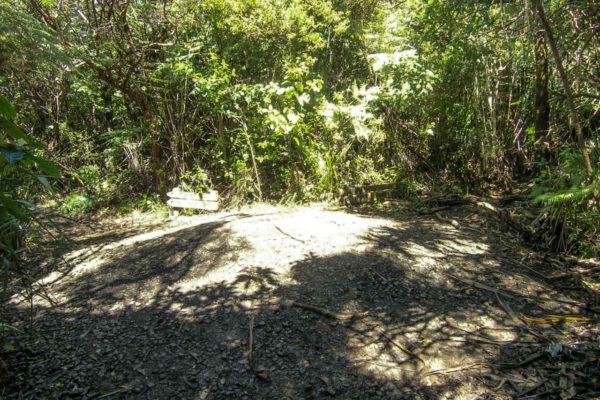
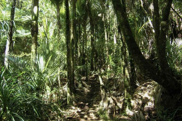
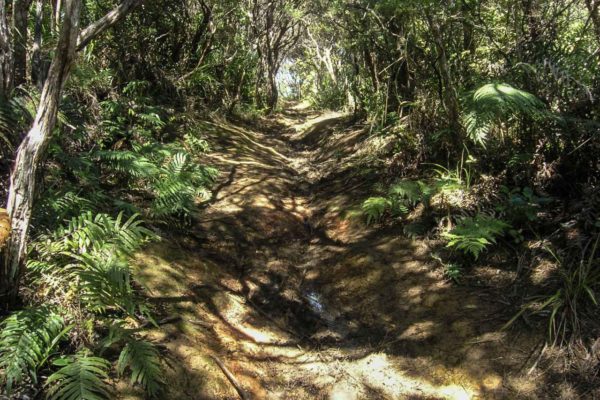
Muir’s track starts just before the shelter and continues straight up a very narrow rough, rocky and muddy track for about 15 minutes to a creek. Still climbing, the track gets very muddy and slippery until you reach a spur, from here to the top is a little better, but not much. There is one tricky rocky section to climb over just up from the shelter, be careful.
You should reach the Walker Ridge Junction in about 35 minutes. From here the track improves a little, you will need to navigate your way through a couple of deep mud holes and under low branches. There is only one good lookout on the whole track where you can get a great view of the coast. From this spot, you can see where the old tram track used to carry out the logs north to Karekare settlement to be milled.
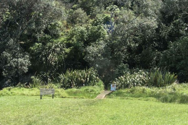
The descent down to Whatipu is not as bad as walking up from the other end, still steep, but not a muddy and rutted out track. 15 minutes before the end of the track there is a turn off to the caves and a tent site. When you break out of the bush you will see the car park. Stop at the small bridge, this is a good spot to wash your muddy boots and legs, DO NOT drink the water, stock is in the paddocks.