Helen Wenley
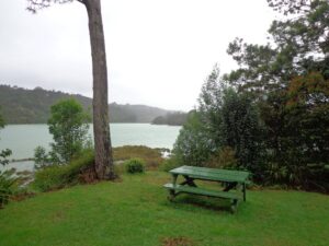
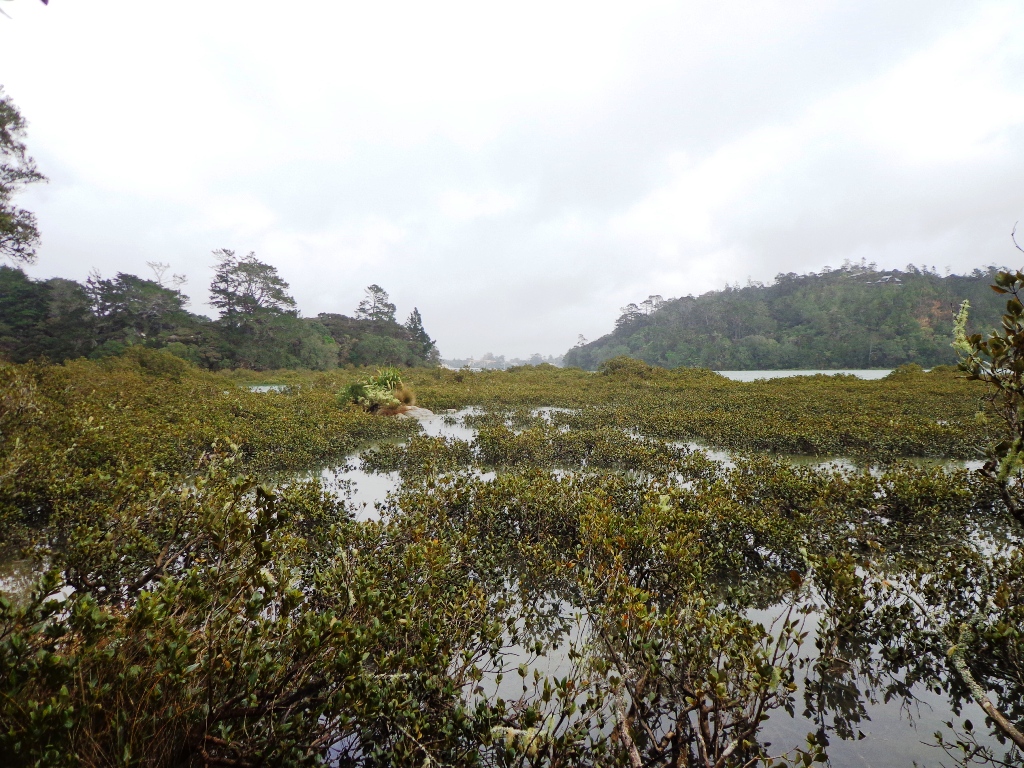
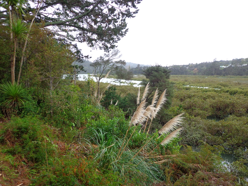
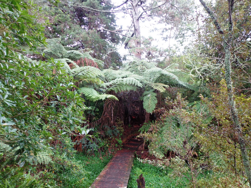
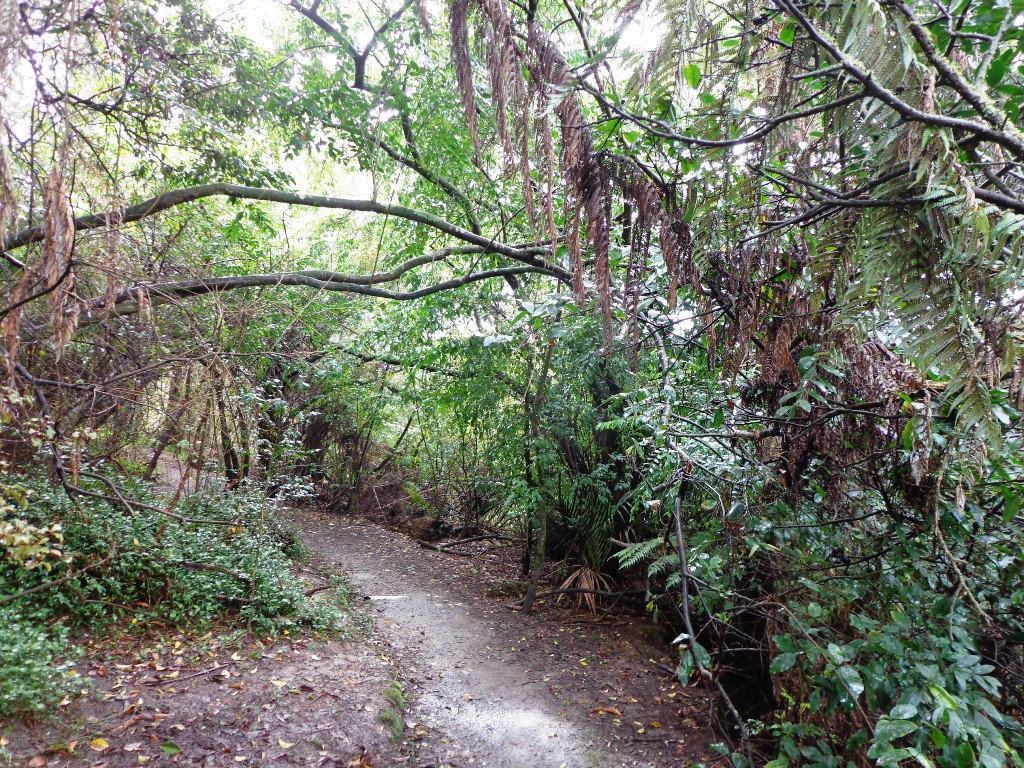
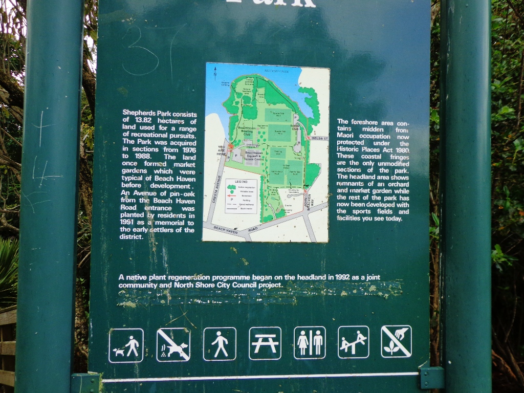
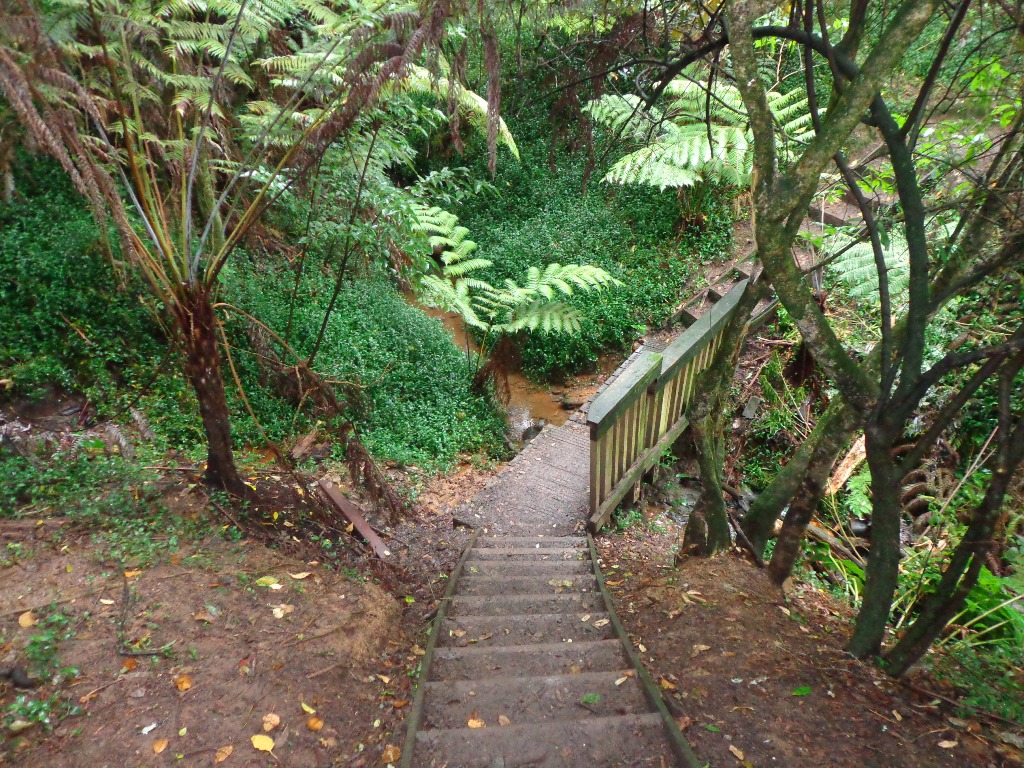
This project began in 2011. My friend Grace was the walk creator – with her knowledge of Auckland, she could “see” circular routes, and then it was up to me to map out, photograph, research and document the routes. At first, I relied upon my voice recorder and Google maps but then with the advancement of technology, the smart phone became a best friend and I was able to track our route. The best fun was when we were both pleasantly surprised by what there was to see. Beautiful wetlands, views and bush kept us inspired to explore more.


2 Responses
Re: Your FREE Beach Haven Coastal Walk Map
Hi Sandra
Have just done this walk…was great but it was only a 4km walk. Not sure where we went wrong, but we enjoyed it.
Thanks
Kim
Hi Kim
So glad you enjoyed the walk and thanks so much for letting me know about the distance. I’ve amended the walk on the website to show that.
Thanks, Sandra