- Easy 2.3km loop with one short climb to a lookout, about 40 minutes walking
- Full signposted loop is 3km and takes about an hour and a quarter
- Dogs allowed under control, shared with mountain bikers
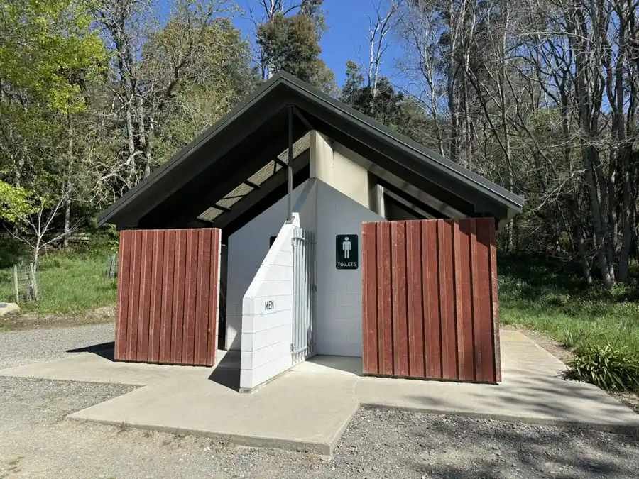
- Toilets and parking at the trailhead, Cheviot Hills Reserve
Quick facts
| Distance | 2.3km loop as walked (full signposted loop is 3km) |
| Time | 40 minutes walking, about 1 hour 15 for the full loop |
| Difficulty | Easy, with one short climb to the lookout |
| Climb | 46m, highest point 93m |
| Surface | Gravel paths and dirt tracks, soft pine needles in places |
| Start | Trailhead car park by the toilets, Cheviot Hills Reserve |
| GPS | -42.82301, 173.27721 |
| Dogs | Yes, under control |
| Bikes | Yes, shared with mountain bikers |
| Facilities | Toilets and parking at the trailhead |
| Land | Public reserve, managed by Hurunui District Council |

Getting there
Cheviot Hills Reserve is on the edge of Cheviot township in North Canterbury, just off State Highway 1. The trailhead car park with toilets is the easiest place to start, though the walk can also be picked up from the welcome sign by the cattle stop.
The walk
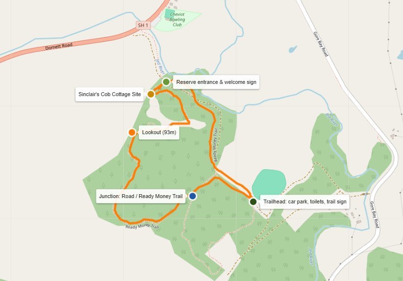
From the welcome sign by the cattle stop, the track climbs the bank to Sinclair’s Cob Cottage Site, then follows a gravel path through big oaks and cedars before climbing to the lookout. This is the only real hill on the walk, and it’s worth the stop. From up there you get the whole Cheviot basin laid out, with snow on the ranges behind on a clear day.
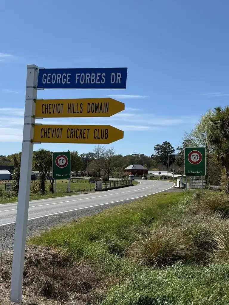
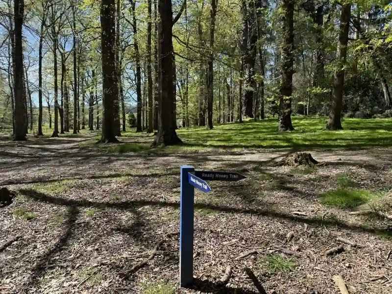
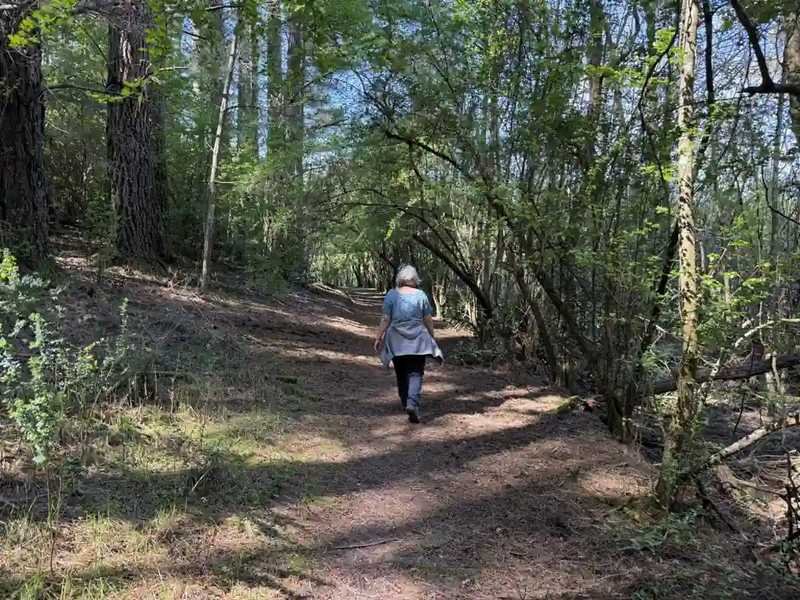
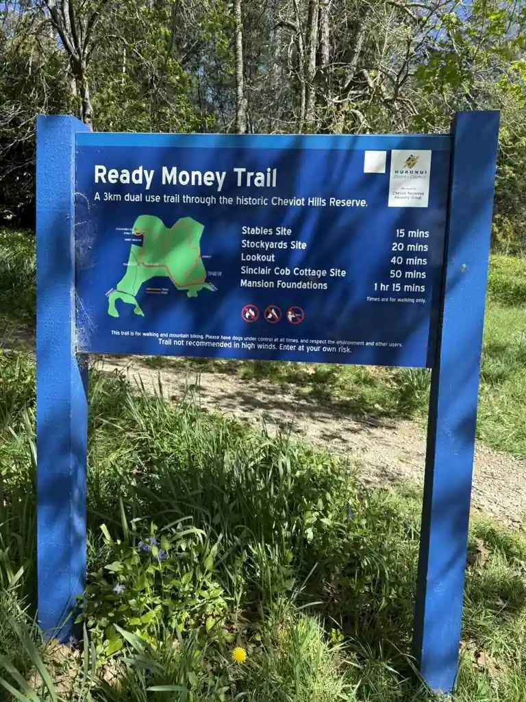
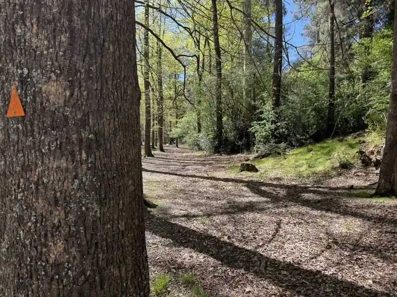
From the lookout, the track drops through tall gum trees and old oak woodland, then onto a soft pine needle track around the bottom of the reserve. Orange triangles on the trees mark the way. At the junction, blue fingerposts point along the Ready Money Trail.
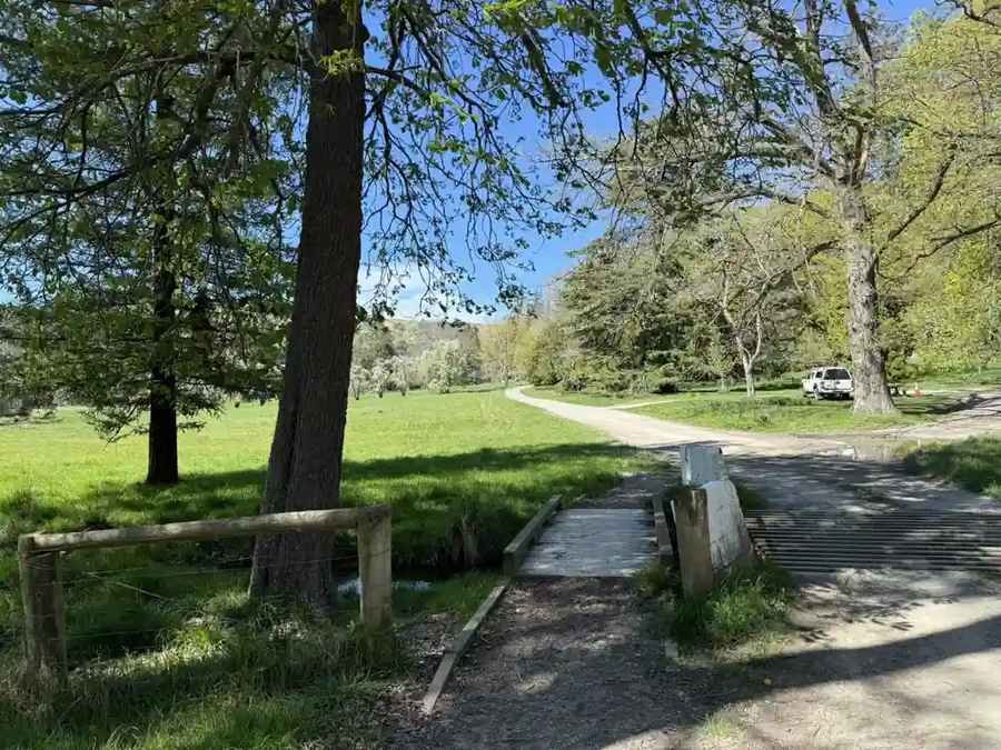
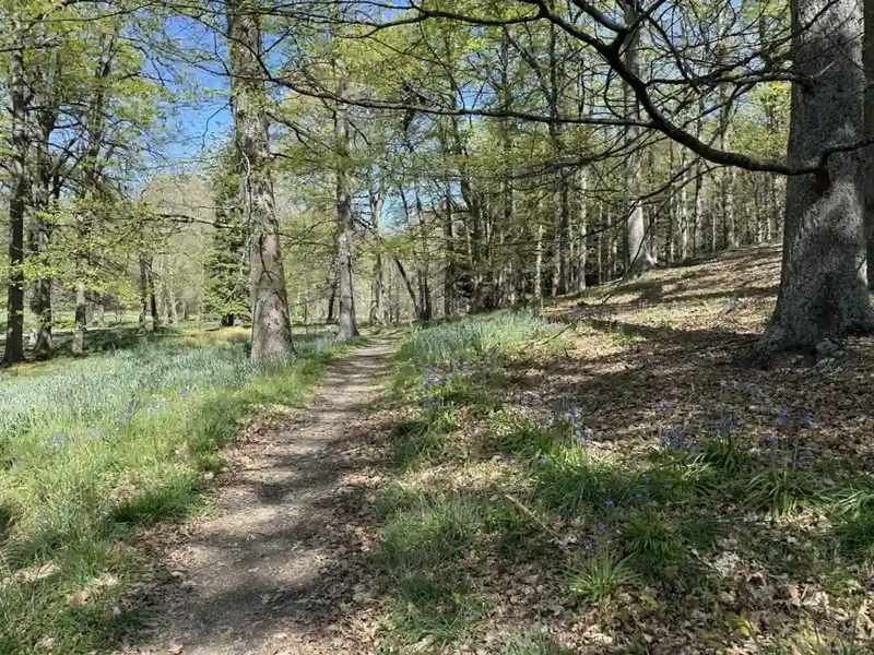
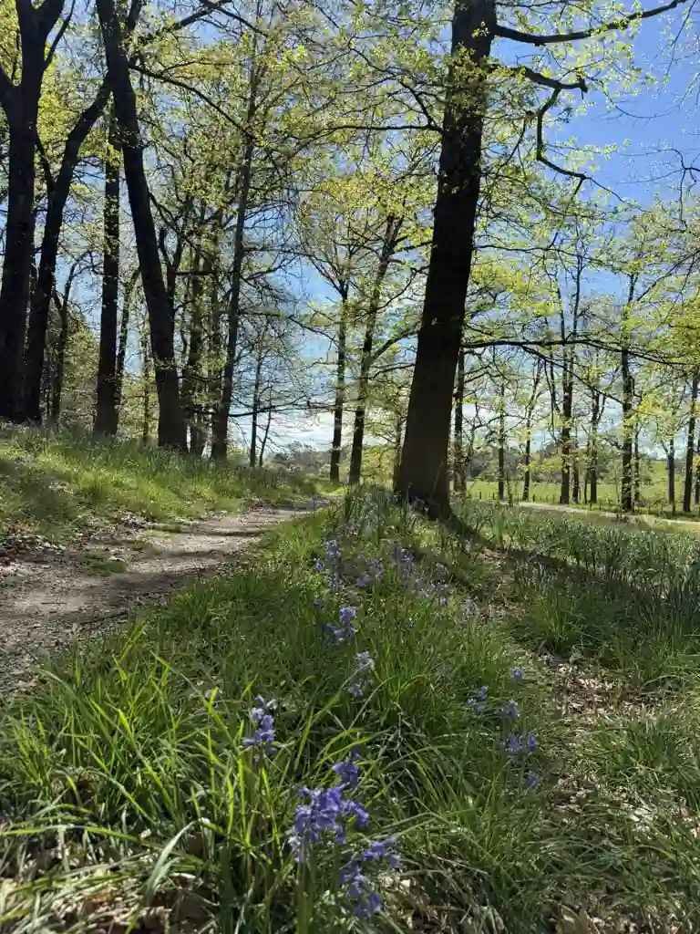
The track comes out past old garden hedges and a red shed to the trailhead car park and toilets. From there, cross the footbridge by the cattle stop and follow the narrow path north through the bluebells back to the start.
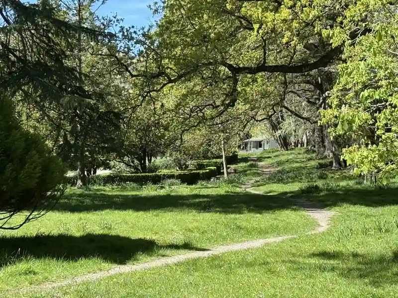
Signs along the way note the Stables and Stockyards sites and the Mansion Foundations, though these are not obvious from the track itself. For the full 3km loop, follow the signposted route from the trailhead car park and allow about an hour and a quarter.
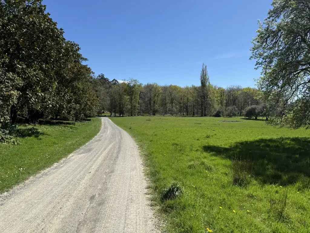
What you’ll see
This is a walk through Cheviot’s farming and station history as much as its bush. Old garden hedges, oak and cedar plantings, and the sites of the cob cottage and the red shed all point to the land’s past as a working station. The lookout gives a wide view over the Cheviot basin to the ranges, and the pine needle and gum tree sections lower down give some shade and a change of surface underfoot.
Who it’s for
A good one for families, casual walkers, and mountain bikers sharing the same tracks. The short climb to the lookout is the only real test, and the rest is flat, well formed gravel and dirt path. Dogs are welcome under control.
When to go
Any time of year works, though a clear day makes the most of the lookout views to the snow covered ranges. The pine needle sections and dirt tracks will get soft after heavy rain, so good footwear helps in winter.
Important stuff
Dogs are allowed under control. The track is shared with mountain bikers, so stay alert on the narrower sections. Toilets and parking are at the trailhead car park. The reserve is public land managed by Hurunui District Council.
Other walks nearby
Canterbury Region Walks for more walks across the wider region.
Back to Walks in Cheviot for more walks in the area.