Home » North Island » Auckland Region » East Auckland » Pakuranga » Coastal Rotary Walkway Pakuranga
The walk winds its way along the verge of the Tamaki River from Panmure Bridge, eventually finishing at Halfmoon Bay (via a few extra streets and paths). The distance is 10.5km one way, so a significant walk if you are to do the return trip, but well worth it!
There are plenty of options to complete portions of the walkway and our Google Map will display all the possible entrances/exits along the Rotary Walkway. You will also find the map will assist you greatly in navigating the Halfmoon Bay section of the walk.

This walk is suitable for bikes, buggies and wheelchairs, so great for any person/family, although at the Halfmoon Bay end of the adventure, there are a couple of flights of pretty steep stairs.
| Walk time: | 1 – 5 hours |
| Distance: | 10.5km one way |
| Track: | Paved and Boardwalk |
| Difficulty: | 1 – 2 – the first 8.5km is mostly flat and on the Rotary Walkway. The final 2km has hills and stairs as it traverses through various streets and walkways to Halfmoon Bay. |
| Buggies/Wheelchairs: | Excellent walkway for buggies & wheelchairs. The final 2km towards Halfmoon Bay will present some challenges, especially the stairs at the far end of Eclipse Place. |
| Highlights: | Coastal, Views, Great track, Boardwalks over the water and through mangroves. |
| Facilities: | Playground, Fishing, Swimming, Toilets, Water, Seats, Picnic Tables |

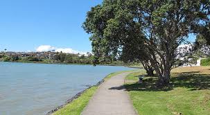
One of Auckland’s great walkways, this purpose built coastal path hugs the east-side of the Tamaki River from Panmure Bridge to Halfmoon Bay.
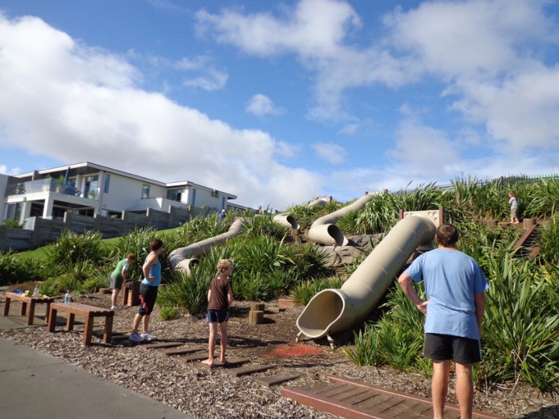
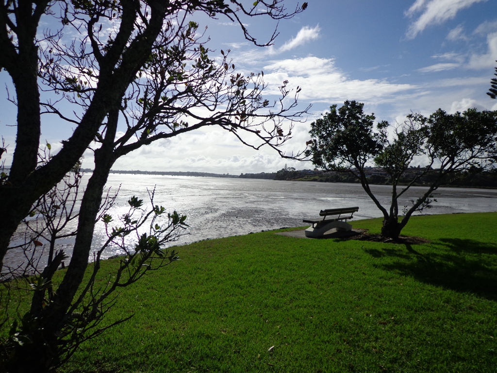
The track winds its way in and out of pretty inlets, with boardwalks traversing through bush and mangroves. Enjoy the sea-breeze, water views, bird life and opportunities presented by the famous ‘snakes & ladders’ playground or some land-based fishing.

There are many places you can commence this track and a lot of options for varying length walks. The Google Map clearly shows the various entrances to the path if you want to create your own loop walk.
However, the complete 10.5km walk is full of highlights and worth the effort, even if it means completing it return for a 21km half marathon! The alternative is to drop a vehicle at each end of the walkway.
We have walked, run and biked this track on many occasions – it is definitely a favourite. We normally commence at the Panmure Bridge end, especially as the first few kilometres contain so much variety, interest and beautiful coastal scenery.
Once strolling along the walkway, you will wind your way along the foreshore, mostly on paved undulating track. This paved track is interspersed with boardwalks that venture over the water and through the mangroves. At high tide, you are walking just a little above the lapping water.
The hills on this section of track are small but add interest to the first 2-3 km. The middle section of the track is almost completely flat as it circumvents the coastline.
After passing your way around the second significant inlet, the impressive St Kentigern College campus will be on your right and you pass their rowing jetty on the left.
The next significant landmark is the Farm Cover Reserve where you will find toilets and water. 150m past the reserve is the famous ‘Snakes & Ladders Playground’ – worth a visit even if you don’t have kids with you!

Another significant inlet follows the playground as you wind your way towards Wakaranga Creek Reserve. This is another beautiful section with lovely houses, mangroves, pockets of bush and eventually opening to the green spaces of the Reserve.
A short detour from the Rotary Walkway takes you to the Prince Regent Playground, best known for its long tube slide. Another 250m – 300m through Pigeon Mountain Wetlands and you can visit Pigeon Mountain for a spectacular view of the local area and Auckland isthmus!
Pass through Wakaaranga Creek Reserve and take the western exit to Curacao Place. The walk now leaves the Rotary Walkway and traverses a series of quiet streets and walkways across the clifftop of the Halfmoon Bay suburb.
Enjoy the varied views across the city and Waitemata Harbour, as well as many beautiful homes. This approximately 2km section takes you to the Halfmoon Bay marina, shopping centre and wharf.
There are a range of restaurants at Halfmoon Bay if you want to stop for lunch before starting a return journey!
The track across the last 2km to Halfmoon Bay has a lot of variety. Once completing the various streets, a flight of stairs takes you back to a track that hugs the coastline and clifftop.
There are stairs heading down from the end of Clyside Ave, with a semi-accessible small beach just off the track. Another set of stairs climbs back up to the clifftop track – continue along here until you reach the stairs down to Halfmoon Bay.

My family has already visited this beautiful Walkway twice. I find this Walkway interesting as it goes along the water. We go in and out from different locations, from Halfmoon Bay marina to Panmure Basin. My kids loved the playgrounds along the Walkway. It is a perfect spot to witness a lot of greenery and a beautiful view of the sea. Fishing, playing, walking, biking – everything is fun here. I hope we can visit it once again soon.
Thanks for the comments. It is a great walk for sure.
FREE Auckland Walks eBook
Subscribe for walking and hiking tips.

Walking Day Pack made in New Zealand