Home » North Island » Auckland Region » South Auckland » East Tamaki » Highbrook Park Loop
Mission accomplished and rewarded with a delicious iced coffee at Highbrook Park’s Olea Cafe!

| Walk time: | approx. 75 minutes |
| Distance: | about 5.8 kms |
| Track: | A mix of level and slightly hilly paths. |
| Difficulty: | Suitable for users of average fitness and mobility. |
| Start: | Business Parade North, Highbrook |
| Dog Friendly: | There is an off-leash dog exercise area on the Otara Creek (south) |
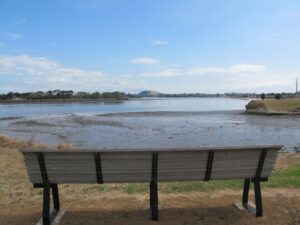
| Highlights: | Pukekiwiriki Crater, wetlands, views of Tamaki Estuary, Otara Creek, Pakuranga Creek, Mount Wellington and other volcanoes, Highbrook Model Airpark. |
| FREE Map: | Download the FREE printable map with directions, of this walk |

According to “Volcanoes of Auckland, the Essential Guide” Highbrook was developed as a racehorse stud farm before being converted into a business park. The explosion crater’s name is Pukewairiki which means “the hill with the associated small lagoon”. The crater floor is now salt marsh and mangrove forest.
The pathway along Highbrook Park is safe for family cycling. This walk does not include a playground and would be suited for older children. Look out for the pohutukawa blossoms early summer. An off-leash dog exercise area is on the Otara Creek (south) side of this walk.
FREE Auckland Walks eBook
Subscribe for walking and hiking tips.

Walking Day Pack made in New Zealand