Mount Roberts Trail climbs straight out of downtown Juneau, through forest, to the old tramway station above the city. It’s 5.2 km one way with 652 m of climbing, and it took us 2 hours 27 minutes with stops. Views are saved for near the top. The tram is currently closed, so plan to walk back down as well.
Quick facts
Walking from the cruise dock to the Basin Road trailhead
This walk is part of our My Walks Around the World series, and it is an easy one to fit around a Juneau cruise stop because you start and finish close to the ship.
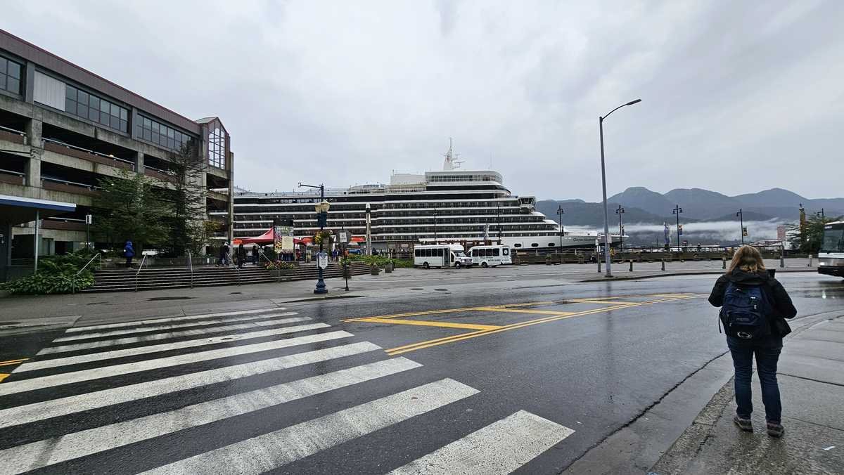
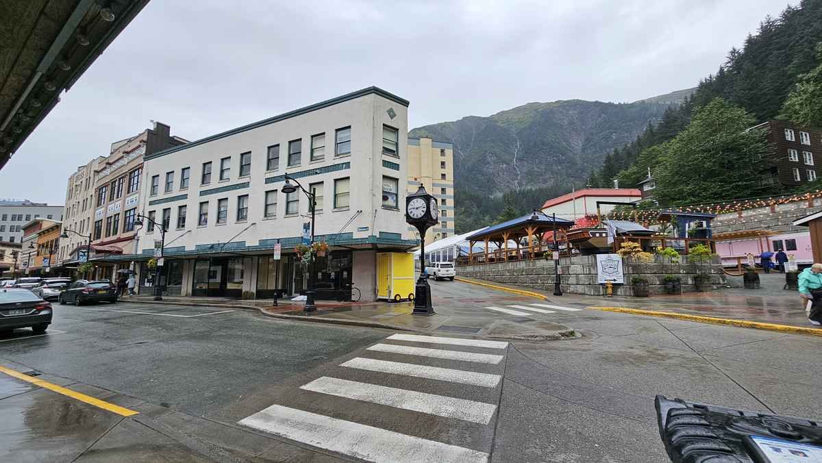
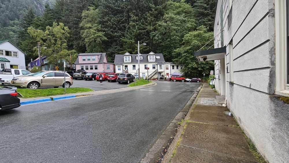
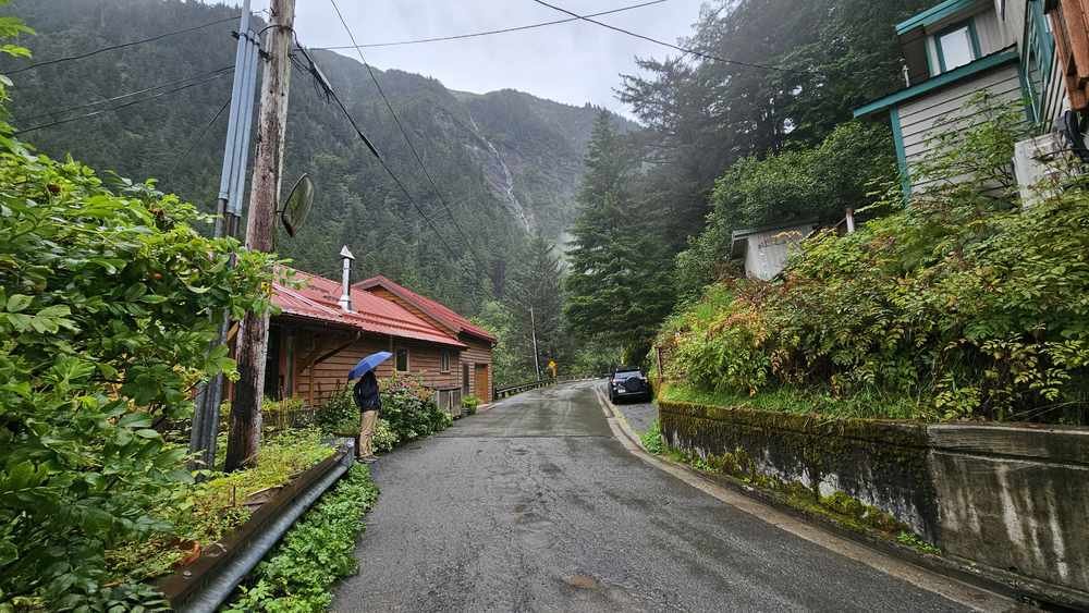
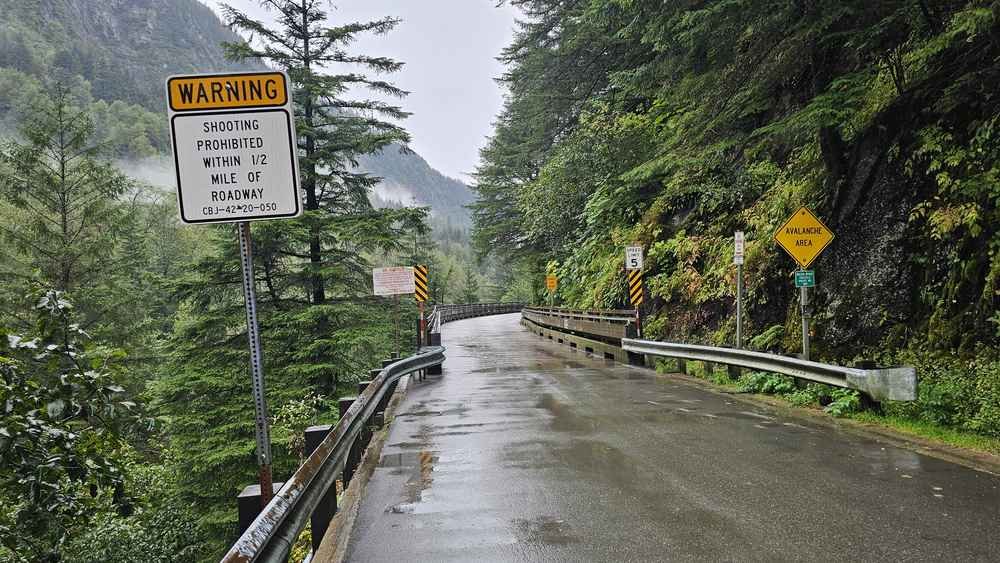
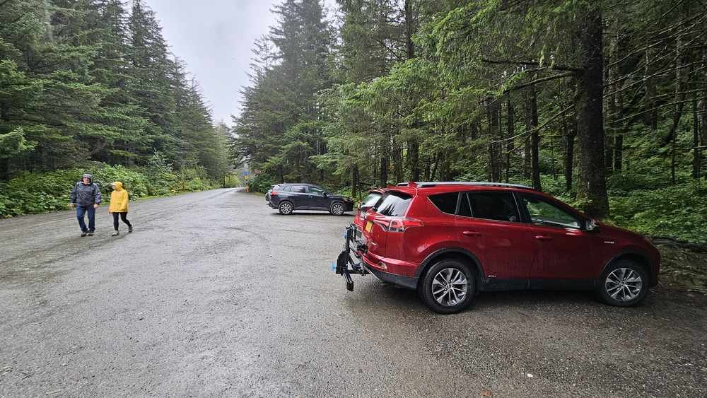
From the docks, walk through downtown and uphill to Basin Road. That takes about 15 minutes. Follow Basin Road past the old wooden houses and over a long wooden trestle bridge. The road ends at a small gravel car park in the trees, and the trail starts right there.
Some older guides point to a Sixth Street trailhead. That one is no longer maintained, so head for Basin Road instead, it’s the trailhead now.
Map of the route
The green line is the route I walked, from the green marker to the orange one. Zoom in for the detail.
Directions to the start · Map data © OpenStreetMap contributors
Climbing through the forest to the old tram station
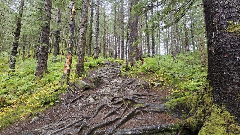
The climb starts the moment you leave the car park. Tree roots cross the track everywhere, so watch your footing from the first few steps.
- Into the forest. The climb starts straight away and does not let up. At the wooden trail sign, stay on the Mount Roberts Trail.
- The shelter, about 180 m up. A small wooden shelter with seats, a good spot for a breather.
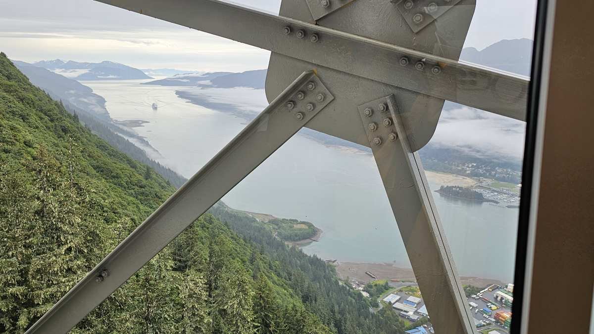
- The long climb. The track zigzags up through the forest the rest of the way. Near the top there are gaps in the trees with views down to the ships and across to waterfalls on the hills opposite.
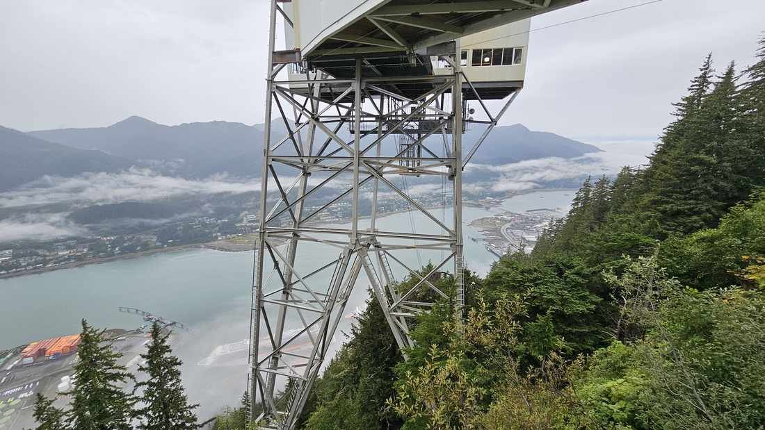
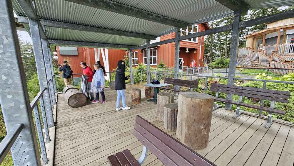
- The old tram station, 540 m up. You come out at the viewing deck and the Mountain House building. This is normally where you would buy a tram ticket down, but check the tram’s current status before you rely on that, see below.
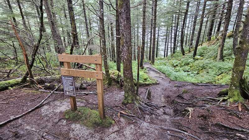
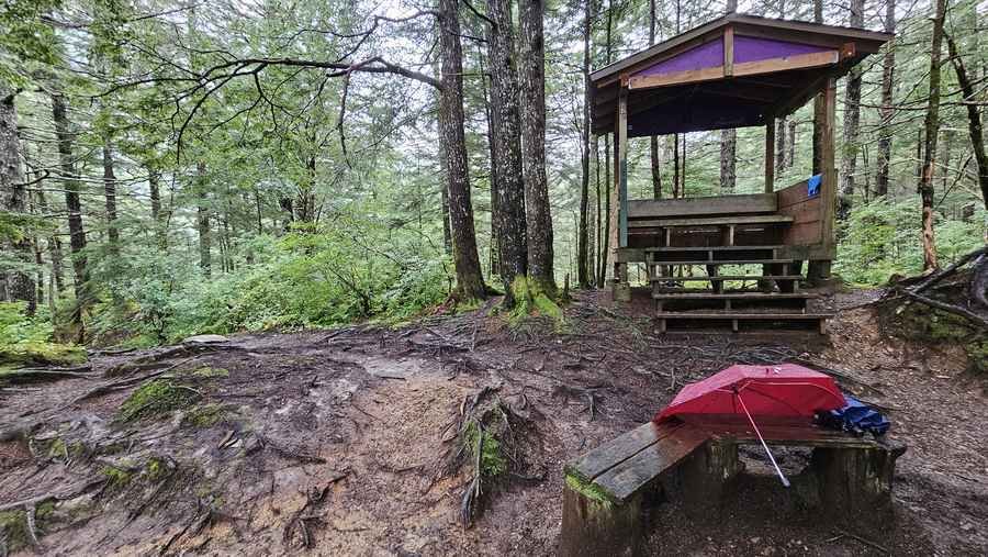
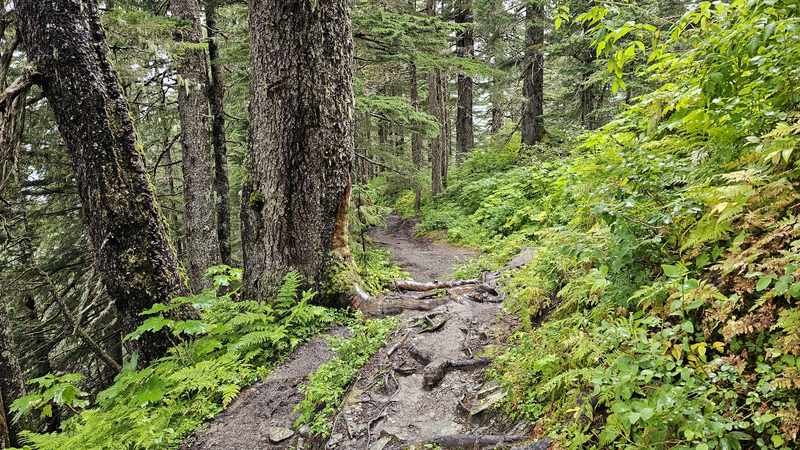
Our GPX tracked 5.2 km one way and 652 m of climbing to a high point of 540 m. It took us 2 hours 27 minutes, GPS time, including stops for photos.
Views over Gastineau Channel and the cruise ships
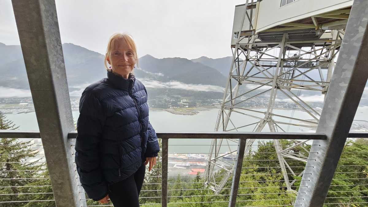
You walk through town at the start, then it is forest the rest of the way up. Most of the views open up near the top. You look straight down on the cruise ships and along Gastineau Channel, with waterfalls on the far hills when the cloud lifts enough to see them.
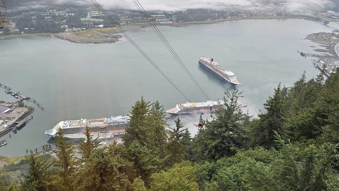
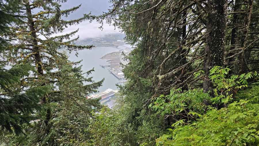
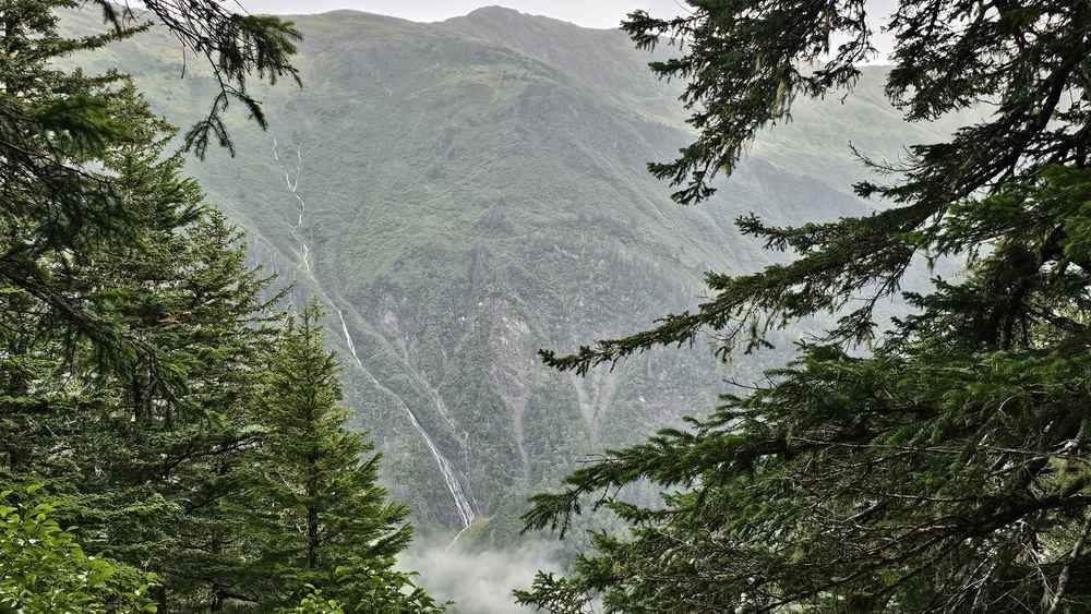
The cloud was low on our day and it still looked good.
Who this walk suits
You need to be fit enough to walk uphill for a couple of hours. You do not need hiking experience, but wear proper shoes, the roots and mud make this a bad trail for anything with a smooth sole.
With the tram currently closed there is no shortcut up or down, so only start this if you are genuinely up for walking both ways. If that is too much, it is a better day to explore downtown Juneau instead.
Best time to start, and Juneau’s rain
Go first thing, as soon as you are off the ship. The trail is quieter, and with the tram closed you need every spare hour for the walk back down too.
Juneau gets a lot of rain, so expect mud regardless of season. Check current trail conditions before you head up, the Juneau district has noted mud and occasional blowdown (fallen trees) on this trail.
Dogs, fees and the Goldbelt Tram closure
- Dogs: allowed on the trail. Check the current park rules for any leash requirements.
- Fees: hiking the trail itself is free. The only normal cost is a tram ticket, and right now there is nothing to buy, the tram is not running.
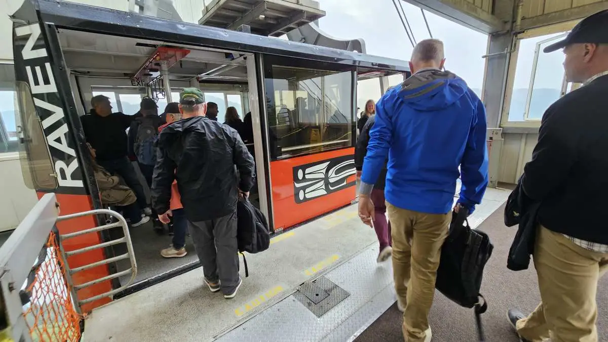
- Tram: the Goldbelt Tram has been closed since a mechanical accident on 30 April 2026. As of November 2026 the company’s own CEO said it may not reopen until 2028, with no confirmed date. Check the operator’s website for the latest before you plan a day around riding it, and before assuming the Mountain House restaurant and shop at the top are open too.
- Track: dirt and roots, slippery when wet, muddy a lot of the year.
- Bears: this is bear country. Make noise as you walk, especially near the shelter and in thick forest, and carry bear spray.
- Beyond the top: the trail keeps going past the old tram station toward Father Brown’s Cross and the ridge above, but it gets rougher and is not maintained past the cross. Check current rules and conditions before continuing that far.
- Facilities: nothing on the trail itself. Normally there are toilets, food and water at the top, but confirm these are open given the tram closure.
- What to bring: rain jacket, a warm layer, water and good shoes. It is cooler at the top.
My honest take
This is a good walk for a cruise stop because you start and finish at the ship. The climb is harder than it looks, mostly because of the roots.
We did this in September 2024, when the tram was still running, and rode it down after. These days you would have to walk back down the way you came, since the tram is closed. I would still walk up again rather than pay to ride both ways, when it is running.
This was one stop on a bigger trip. Find more of our walks from around the world on the My Walks Around the World hub.