Closed: Mauao, including the Summit Walk, has been closed to the public since a fatal landslide on 22 January 2026 that killed six people at the base of the mountain. Tauranga City Council says the mountain stays closed while recovery and geotechnical remediation work continues, and no reopening date has been confirmed. Remediation timelines have already shifted once because of renewed slip activity above the holiday park, so check the current park rules on the Tauranga City Council website before you plan a visit.
- Mount Maunganui summit track, 3.80 km return, around 1 hour 20 minutes of solid walking with no stopping.
- Rated hard, it is all uphill or all downhill, there is no flat ground on this track.
- Awesome views from the top over Mount Beach, Pilot Bay, the inner harbour and Matakana Island.
- Currently closed after the 2026 landslide, this guide covers the route for when it reopens.
- No dogs allowed on Mauao, including the base track, under Tauranga City Council rules.
Quick facts

Getting there
From Cameron Road in Tauranga, drive north onto Chapel Street. Chapel Street drops down to the main set of lights, cross the harbour bridge into Mount Maunganui. Once over the bridge, at the second set of lights, turn left into Totara Street, it is a free turn. Drive to the end of this road, about 1.3 km.
At Rata Street, turn right, drive 20m then turn hard left onto Maunganui Road. Drive through the shopping centre and over the speed bumps to the end, about 1.5 km, at a small roundabout. The Mount Hot Pools are in front of you, turn left. Drive 150m then turn left again, you are now in Pilot Bay.
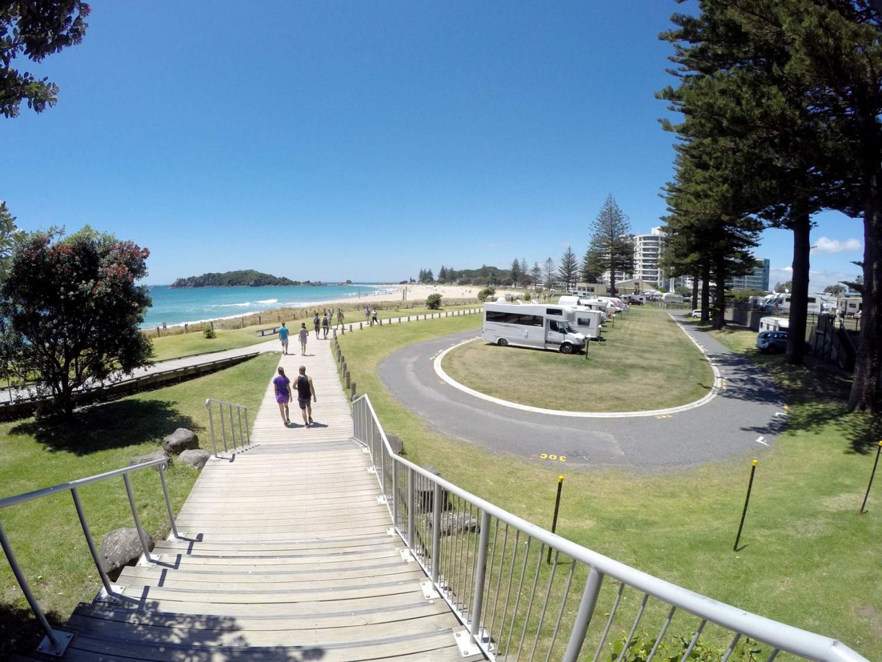
Finding a car park is your next challenge. To find the start of the track, walk up toward the mountain keeping Pilot Bay on your left shoulder. A road runs between the caravan park and the beach, follow this around to the left and out to an old wharf. The track starts at the end of that road, just follow the local walkers and runners.
Buses run out to the base of Mount Maunganui during the week, but there are very few on weekends. The bus stop is right outside the hot pools, a short walk to the start of the walk.
If you fancy mixing up the pace, hiring a paddle board for an hour before or after the climb is a nice change from all that uphill walking. 1 Hour Stand Up Paddle Board Hire: Mauao Adventures gives your legs a gentler workout to balance out the hard slog to the summit.
The walk
Here is the route Sandra takes to the summit, for when the mountain reopens. The track changes a little depending on how hard you want the workout, this is the version with an easier climb and a steeper way down.
Start of the walk up the Summit Track from Pilot Bay
To find the start of the track, walk up toward the mountain keeping Pilot Bay on your left shoulder. A road runs between the motorhome park, the campground and the beach. Follow this road around to the left. Keep a look out for a track on your right, if you end up at the wharf you have gone too far. Walk up this track for 3 minutes, then take the next gate on the right. Once through the gate, turn left, you are now on the main track to the top.

Past the water tank
From the gate to the water tank is a gentle, 3 minute uphill walk. The views over to the left and out into the inner harbour take your mind off the climb. Watch out for sheep, they wander around freely here.


Uphill to the top
Just past the tank is a gate to open, and this is where the climb really starts, uphill all the way to the top. Halfway up is a sharp right hand corner, a good spot to stop for a breather and look down to the harbour entrance. Out in the distance, about 27 km away, are the Kaimai Ranges, and Matakana Island sits in front of you with its farmland visible on a clear day.


Choice of tracks and the final push
Around the next corner is a sign with two ways to the top, the main track to the left meets up with the other track later on. Fifteen minutes to the top is good going, allow twenty. The next plateau is where hang gliders and model plane flyers share the airspace, it is worth a stop to watch.


The summit views
Walk further on for views out to Mount Beach and Pilot Bay. It is worth the climb. Head out onto the viewing platform for the best photos. On a warm summer evening, a 5pm start gives you time to sit up top with something to eat and drink and watch the sun go down, just bring a torch for the way back. A sunrise start is just as good, if not better.

Heading down through the trees
Walk past the monument and follow the track down into the trees, from here it is downhill all the way with a few steps, new and solid underfoot. After about 5 minutes you reach a T section, turn left onto the base track via the Waikorere track, there is a large marker stone to the right.

Steps down through native bush
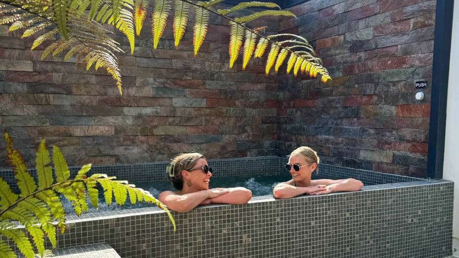
The first few minutes here are through light native bush, then over a bridge and around a corner for great views of the mountain. Looking down you will see the Mount Hot Pools, popular on a cold night. The steps on this side are a little steeper, take your time.


The last stretch down
The next turn off to the right is easy, keep walking downhill. As you go you will see a light beacon on your right, then a gate further down. This paddock usually has sheep in it, so watch your step. Keep walking for about 5 minutes and on a right hand corner you will see old stone steps leading down a gully, take this track. The steps can be slippery when wet.


Out onto the beach and boardwalk
From the stone steps you can look down to the beach and the boardwalk. When you meet the base track, turn right and walk about 5m to the gate on the left. Go through the gate and follow the boardwalk past the campground to the surf club, where there are public toilets, changing rooms and a tap to rinse the sand off your feet before heading for a coffee or ice cream.


What you will see on the Mount Maunganui summit track
The view from the top is simply awesome. You will break a sweat getting up there, but it is worth it. From the summit you can see Mount Beach, the inner harbour, the busy port, Pilot Bay, Matakana Island, and ships and boats coming and going through the small harbour entrance.
Along the way keep an eye out for sheep grazing the open slopes, and watch the hang gliders and model planes sharing the airspace off the main plateau. Mauao is a historic reserve, owned by Maori and managed by Tauranga City Council, with its own stories about the arrival of Maori in New Zealand tied to the mountain.
Who this walk is for
This is a fitness hike rather than a gentle stroll, rated hard with no flat ground anywhere on the track. It suits locals and visitors who want a solid workout with a view at the end. There is no wheelchair access and the surface is crushed gravel with plenty of steps on the way down, so it is not a good fit for prams or wheelchairs. No bikes are allowed on the track either.
If you would rather keep your feet on the flat, the walk around the base of the mount is the easier alternative.
When to go
Early morning or early evening are the best times to climb. A 5pm start on a warm summer evening gives you time to sit at the top with food and a drink and watch the sun set over Tauranga, just bring a torch for the way down. Sunrise is just as rewarding, if not more so. Once the mountain reopens, check the current park rules for any gate hours before you head up.
If the weather turns or the kids need a backup plan, a swim session with slides and a wave machine is an easy win. General Pool, Wave Machine & Hydroslide Entry: Baywave Aquatic & Leisure Centre keeps the day going when the track isn’t an option.
Important stuff
Closure: Mauao has been closed since a fatal landslide on 22 January 2026 that killed six people at the base of the mountain. Tauranga City Council is keeping the mountain closed to protect public safety while recovery and geotechnical remediation work continues, and no reopening date has been confirmed.
As of the council’s October 2026 update, remediation of the Motukauri summit 4WD track landslides is complete and that track is being prepared for public use, while repair work continues on the Te Ara Tutanga base track. The mountain remains closed overall, so check the current park rules before you plan a visit.
Dogs: dogs are not allowed anywhere on Mauao, including the base track, under Tauranga City Council rules. This will apply once the summit track reopens.
Hazards: there are very steep cliffs at the top of Mount Maunganui, stick to the viewing platform. Stone steps on the Waikorere side can be slippery when wet, and sheep graze freely on the open paddocks, so watch your footing.
Toilets and water: there are no toilets on the track itself, but the surf club at the base has public toilets, changing rooms and a water fountain.
Common questions
Can you walk up Mount Maunganui right now? No. Mauao, including the summit track, has been closed since the fatal landslide in January 2026 and Tauranga City Council has not confirmed a reopening date. Check the current park rules before you go.
How long does it take to walk up Mount Maunganui? When open, the summit return walk is 3.80 km and takes around 1 hour 20 minutes of solid walking with no stopping, allow longer if you are stopping for photos or a breather.
How high is Mount Maunganui? The summit track climbs about 231m in elevation from the base to the top.
Will Mount Maunganui summit reopen soon? Tauranga’s mayor has said some tracks, including the summit route, could reopen in time for summer, but the council has not committed to a firm date, so check the current park rules closer to your visit.
Can you walk around the base of Mount Maunganui instead? The base track is normally the easier, flatter alternative to the summit climb, but Mauao has been fully closed to the public since the landslide, so the base track is affected too. Check the current park rules for the latest status.
My honest take
The summit walk is my fitness hike whenever I am in Tauranga. Along with half the locals, I love it for the workout and the payoff at the top, the views over Mount Beach, the inner harbour, Pilot Bay and Matakana Island are just fantastic. I usually walk up the road side and come down the steeper Waikorere side, it is a slightly easier way to tackle the climb without hundreds of stairs going up.
It is a real shame the mountain is closed right now. The landslide was serious and the safety closure makes complete sense, but I am looking forward to getting back up there once Tauranga City Council gives the all clear. I will update this page as soon as I know more.
After a climb like this one, getting in the water for a beginner surf lesson is a fun way to spend the rest of the day without overdoing it. 2hr Beginner Group Surf Lesson: Aloha is a relaxed way to stretch those legs out differently.
Other walks nearby
- Moturiki Island Walk, a short walk out to the blowhole and rock pools just along from the Mount.
- Mt Maunganui Base Track, the flatter loop around the base of the mountain.
{“@context”:”https://schema.org”,”@graph”:[{“@type”:”Article”,”headline”:”Mt Maunganui Summit Walk”,”author”:{“@type”:”Person”,”name”:”Sandra Tanner”,”url”:”https://www.freewalks.nz/about-us/”},”publisher”:{“@type”:”Organization”,”name”:”Freewalks.nz”},”image”:”https://freewalks.nz/wp-content/uploads/2021/04/View-from-the-top-of-Mt-Maunganui-looking-over-the-town-Mount-beach-and-Pilot-Bay-.jpg”,”datePublished”:”2023-09-28T18:10:06″,”dateModified”:”2024-05-16T10:42:55″,”mainEntityOfPage”:”https://freewalks.nz/mt-maunganui/mt-maunganui-summit-walk/track/”,”url”:”https://freewalks.nz/mt-maunganui/mt-maunganui-summit-walk/track/”},{“@type”:”TouristAttraction”,”additionalType”:”https://en.wikipedia.org/wiki/Hiking_trail”,”name”:”Mt Maunganui Summit Walk”,”description”:”A 3.80 km return hike to the summit of Mauao, Mount Maunganui, currently closed to the public following a fatal landslide and ongoing remediation work.”,”geo”:{“@type”:”GeoCoordinates”,”latitude”:-37.630367,”longitude”:176.172118},”isAccessibleForFree”:true,”url”:”https://freewalks.nz/mt-maunganui/mt-maunganui-summit-walk/track/”},{“@type”:”BreadcrumbList”,”itemListElement”:[{“@type”:”ListItem”,”position”:1,”name”:”Home”,”item”:”https://freewalks.nz/”},{“@type”:”ListItem”,”position”:2,”name”:”Mt Maunganui Walks”,”item”:”https://freewalks.nz/mt-maunganui-walks/”},{“@type”:”ListItem”,”position”:3,”name”:”Mt Maunganui Summit Walk”,”item”:”https://freewalks.nz/mt-maunganui/mt-maunganui-summit-walk/track/”}]}]}